Meet the Meteorologist
What's your favorite weather phenomena?
What got you interested in the weather?

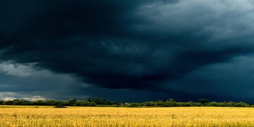
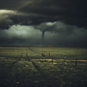
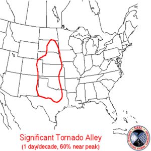
Ever since the 1950s, when the modern era of tornado forecasting and record-keeping started in the United States, the region with the highest concentration of strong tornadoes has been associated with a region called Tornado Alley. With some variation on the outer fringes, this region almost always includes states like Texas, Oklahoma, Kansas, Nebraska, into eastern Colorado, and South Dakota. However, due to a combination of factors, the swath of the United States that experiences the highest concentration of tornado fatalities is actually situated a bit farther east in a region called Dixie Alley.
Dixie Alley encompasses the states of Louisiana, Arkansas, Mississippi, Alabama, Georgia, Tennessee, and even into southern Missouri. There are several factors that make this region more deadly when it comes to tornadoes. First, the population density is higher in these states than in the Plains states, so any tornado that touches down has a higher likelihood of hitting a populated area. Second, hilly and tree-filled terrain can obscure the view of an approaching tornado. Third, tornado-producing storms often move at a faster forward speed in the southern United States, owing to a stronger jet stream. Finally, nocturnal tornadoes are more common in the Mid-South and Southeast than in points further northwest.
Another deadly factor for tornadoes in Dixie Alley is a higher occurrence of tornadoes forming from lines of thunderstorms called quasi-linear convective systems (QLCS's). Unlike the classic supercell thunderstorms which tend to form the majority of strong tornadoes in Tornado Alley, QLCS tornadoes are more poorly understood by meteorologists and are often more difficult to provide sufficient advance warning time based on radar.
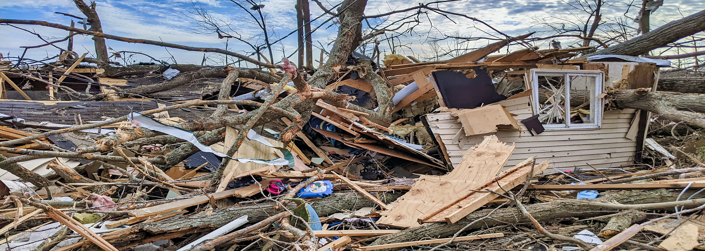
These QLCS tornadoes will be the focus of a new large-scale field study during 2022 and 2023 in Dixie Alley conducted by several universities, the National Oceanic and Atmospheric Administration (NOAA), and the National Science Foundation (NSF). Called PERiLS (Propagation, Evolution, and Rotation in Linear Storms), the project will utilize an array of technology from drones, mobile radar, to both mobile and fixed weather stations to learn more about the environments that are conducive to QLCS tornadoes, to track any tornadoes that form, and to analyze the damage they leave behind, all in the hope of reducing future fatalities in Dixie Alley and beyond.
 Paul Trambley
 Derek Heit
 Jennifer Wojcicki
 Laura Lockwood
 Ray Miller