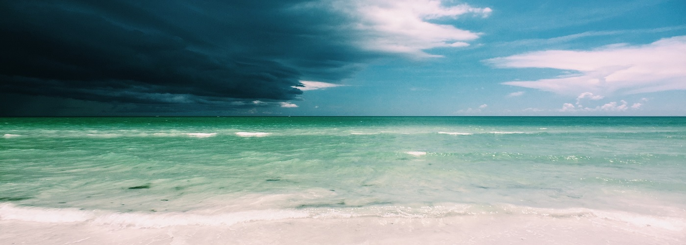

Folks that live near oceans, or any large body of water, can be subjected to the effects of a sea breeze from time to time. The sea breeze can be noticed simply by a shift in the wind direction and a drop in temperature. Other times, a passage of a sea breeze will also be noted by the development of scattered thunderstorm activity. For parts of the country, the sea breeze fronts offer the only relief from summer heat until large-scale cold fronts are able to drive south during the fall. In essence, a sea breeze acts like a small-scale cool front. Let's look into the science behind the sea breeze and address what part of the country is impacted most by them.
The main driver behind the creation of a sea breeze is differential heating between the land and the sea. As the sun beats down on the land, it is only able to warm the top few inches of it, and thereby heats the air next to the land at the same time. Meanwhile, as the sun's rays reach the top of water, it can penetrate 100's of feet deep (depending on water clarity). This spreading out of the sun's energy through the great volume helps keep the temperature of the water fairly constant compared to the temperature of the land. Another factor that accounts for the constancy of the water temperature is described by a concept called "specific heat." Water has a much larger specific heat than air, which means that is takes a much greater amount of energy to heat a volume of water one degree than it does for an equal volume of air.
After hours of sunshine on the land and nearby sea, the air in contact with the land becomes much warmer than the air just above the water at sea. Because warm air over the land is lighter than the cooler, dense air that resides over the water, a local area of low pressure (known as a thermal low) develops on the land. At the same time, the cool dense air at sea is noted by a localized high pressure system (known as a thermal high). Air will always naturally flow from high to low pressure (much like the way a vacuum lowers pressure inside of it to get air to rush into the hose). As a result, a breeze from the sea to the land ensues. As the sea breeze front moves inland, the air is forced upward along it. On days with ample low level moisture, lots of sunshine, and ambient light winds, the sea breeze front can kick up thunderstorm activity.
The passage of a sea breeze will be noted by the wind coming onshore and a simultaneous temperature fall between 10-20 degrees. The greater the difference in temperature is between the land and the sea, the stronger the sea breeze. Along the shores of the Great Lakes, the much colder waters will induce a stronger sea breeze on hot summer days. The sea breeze here can mean a drop in temperature as much as 30 degrees!
Florida sees the most ideal environment for the occurrence of sea breeze thunderstorms during most of the summer and early fall seasons. This is due to the high humidity that resides in the area from day-to-day, combined with the influx of sunny days without a lot of wind during the summer. Sea breeze front induced thunderstorms are the reason the sunshine state sees more thunderstorm days than any other in the US!


