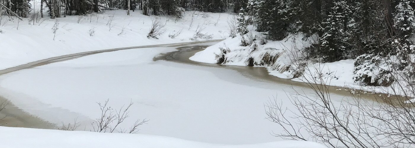

A winter storm develops today in the southeastern US, bringing snow and ice to the lower and mid-Mississippi River and Ohio River valleys as well as the mountains of NC, WA, and WV. The higher snow totals are expected to be in southern IL and possibly parts of southeast MO, southwest IN, western KY, northwest TN and northeast AR as well. Some ice could mix in with the snow at times, with the greatest threat for accumulating ice coming in the mountainous regions of NC, VA, and WV. Heavy rain will be a concern with this system as well, especially in northern GA, parts of the Carolinas, and southeast VA where Flood Watches are in effect.
A strong low pressure system continues to move further away from New England, however some gusty winds are expected still today with wind advisories covering NH, ME, and central MA.


