Meet the Meteorologist
What's your favorite weather phenomena?
What got you interested in the weather?

Shower and storm activity will be focused around three upper-level features through the weekend, upper lows moving through the Pacific Northwest and New England, and around an upper high centered in the southern Plains.
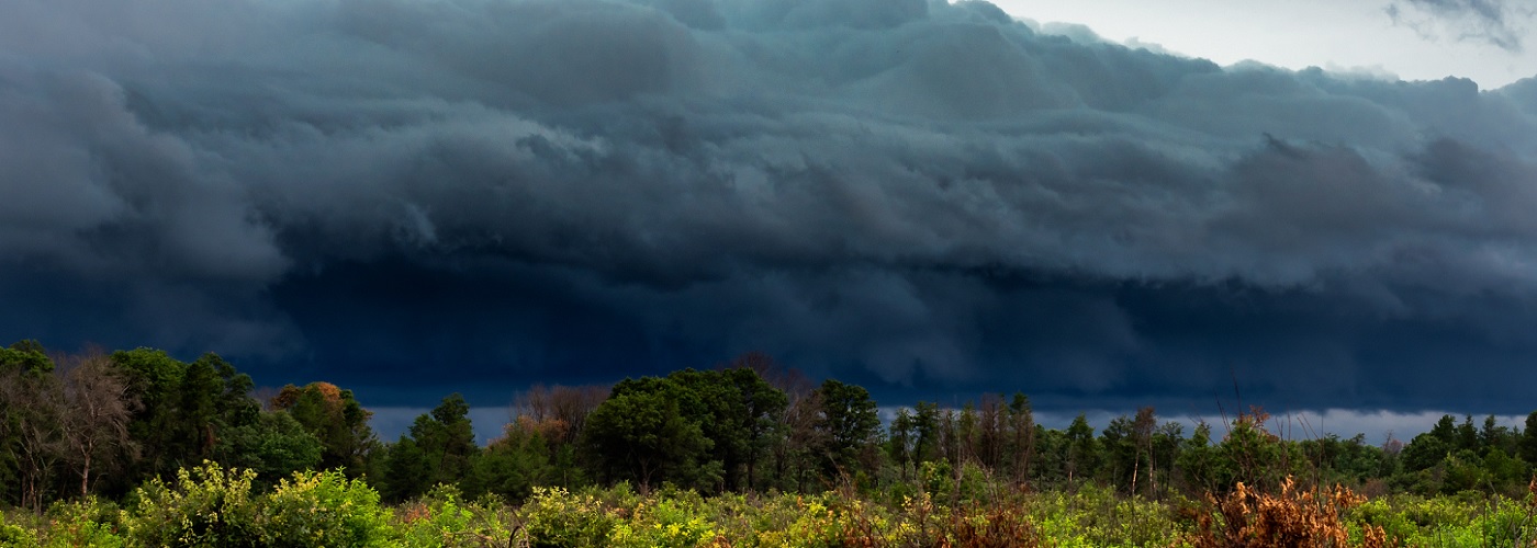
Scattered showers and storms will affect the Northwest, Northeast, and Mid-Atlantic states today and Saturday, and then a dry end to the weekend is expected. A few of these storms could become severe in OR and VA today and central ID, southwest MT, and parts of the eastern Carolinas Saturday with damaging winds the main threat though some hail is possible.
Scattered storms are expected at times through the weekend around the northern parts of the upper high affecting the Rockies, central and northern Plains, and the Southeast. Severe weather is possible with some of this activity as well in particular in the Central and High Plains with the greatest threat occurring today and Sunday. Hail, wind, and isolated tornadoes are possible with some of these storms, and a higher tornado threat could develop later today in Cental SD as a surface low develop in that area.
Some heat and very uncomfortable conditions are expected underneath the upper high with widespread 100s in TX and OK especially over the weekend.
 Paul Trambley
 Derek Heit
 Jennifer Wojcicki
 Laura Lockwood
 Ray Miller