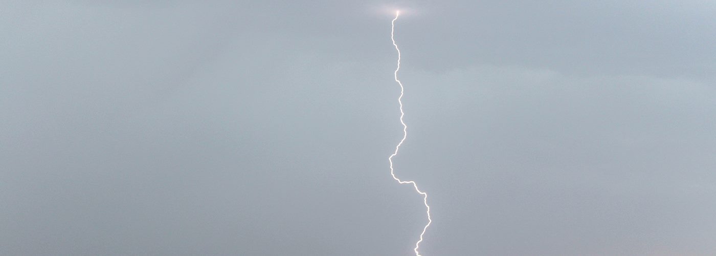

A major spring storm affects the middle of the country through the weekend producing widespread rain and storms with a few severe storms.
A surface low will gain strength early today in the central Plains and begins heading northeast tonight making it into the southeast SD/southwest MN region by Saturday morning, into northeast MN/northwest MN by Sunday morning, and then heading well in Canada throughout Sunday. The severe storm threat will be from OK to central NE this evening to southwest IA, northwest MO, and eastern KS during the overnight. Initially, very large hail and a few tornadoes will be possible with damaging winds near a warm front and dry line, then transitioning to a mainly a wind threat during the overnight near a cold front. The severe threat will be from southern WI to southeast MO on Saturday but doesn't look to be as significant as tonight. Further north widespread rain and possible storms will affect the Dakotas and Upper Midwest with heavy rain possible with widespread accumulations over an inch before things come to an end.