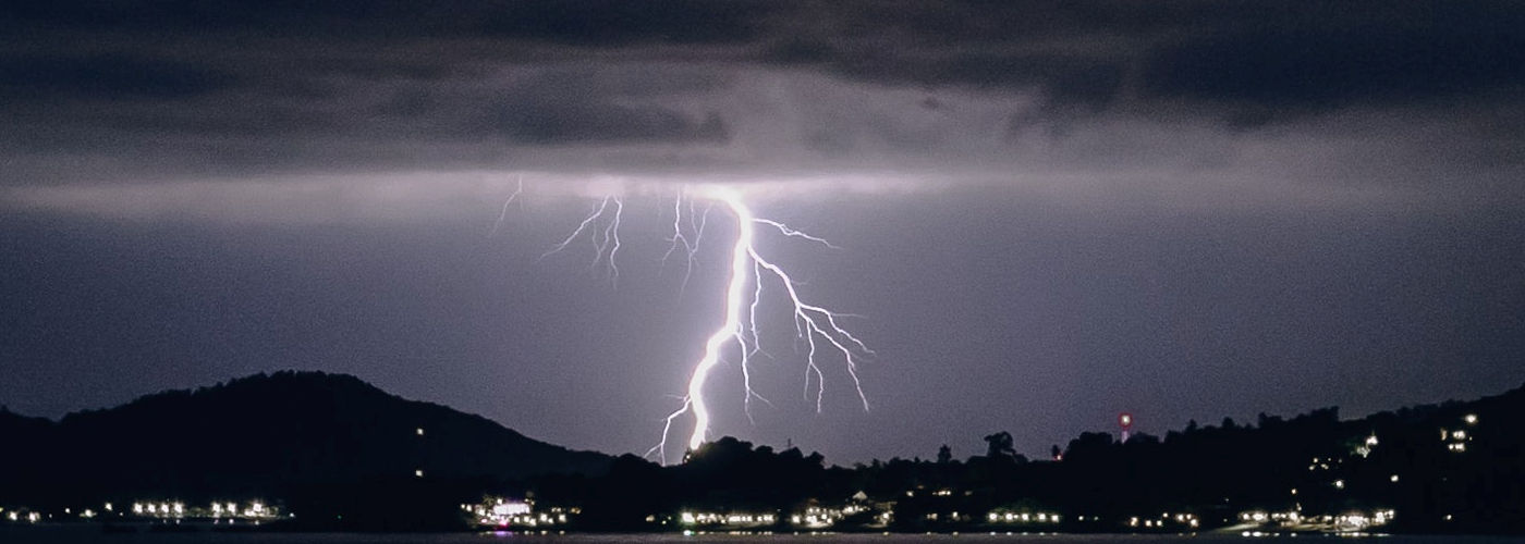

After an upper ridge briefly amplifies over the next 24 hours, the jet stream will become more zonal and reside at or just north of the Canadian border over the weekend. This pattern overall will limit storm coverage, for the most part, however, isolated to scattered storms are expected from the Plains to the Midwest the next few days. Some of the stronger storms may briefly produce a severe wind gust or marginally large hail, but nothing widespread is anticipated. Some of the same type storms with possibly a little higher coverage area are possible in the east, especially the southeast where a stationary front will meander through the weekend. Scattered showers are expected in northwest OR and western WA today into early Saturday as a trough quickly moves through the region.
Finally, eyes will turn to the development and strengthening of two tropical systems, one near Central America and the other near the northern Leeward Islands, Virgin Islands, and Puerto Rico. These systems are likely to be named Marco and Nana early today and are expected to gradually intensify and propagate towards the US. Both may become hurricanes with targeted landfalls across the Gulf Coast early in the new week.