Meet the Meteorologist
What's your favorite weather phenomena?
What got you interested in the weather?

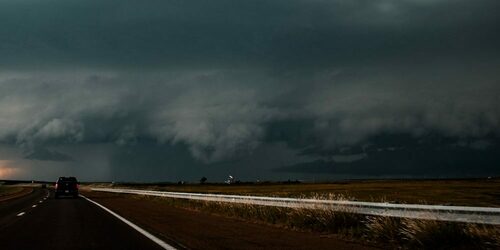
A couple of systems affect the country through the weekend producing rain and snow, and a surge of arctic air arrives into the northern part of the country over the weekend.
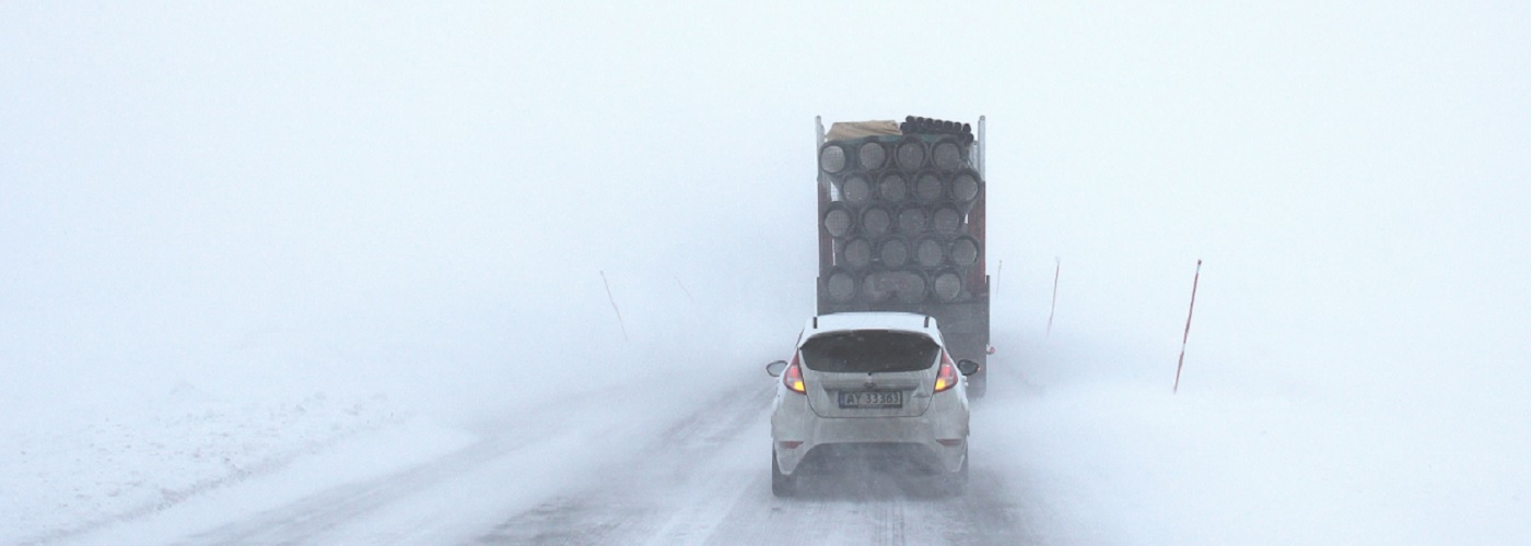
First, a system affects the Upper Midwest and Great Lakes today and tonight with an inch or two of snow accumulation possible for the eastern half of MN, northeast IA, parts of WI and MI. This system then affects northern New England early on Saturday with spotty snow amounts of an inch possible.
Next, further west a system gets going in the northern High Plains and moves east through the weekend and will produce several inches of snow from northeast CO to lower MI. Rain showers are also expected south of the low center along and ahead of a cold front from east TX to the eastern Great Lakes Saturday, and from east TX to the Mid-Atlantic states on Sunday.
Going further west a upper trough will continue to dig south in the western part of the country and will bring several inches of snow to the Northern Rockies and the mountains of WA, OR, NV, and UT. Rain showers are also expected to move from north to south through CA on Sunday and even get into southern NV and western AZ as well.
Finally, arctic air builds into the northern part of the country behind these systems with highs only in the 0s and -0s from ID to northwest WI.
 Paul Trambley
 Derek Heit
 Jennifer Wojcicki
 Laura Lockwood
 Ray Miller