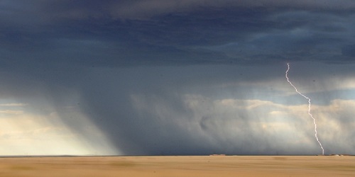

The weather pattern across the country will be characterized by a trough exiting the Northeast early today, a ridge amplifying in the central part of the country, and a trough digging into the Northwest over the weekend. The main focal point for organized storm development will be near slow-moving fronts initially from southern NV to the Mid Atlantic. A moist and unstable air mass will be in place or develop over much of the central and eastern parts of the country leading to some severe weather potential and heavy rain with some of the activity. The best chances for severe storms this afternoon and evening will come from far southeast NE east-northeastward to southern lower MI, and this evening and overnight from eastern CO eastward to northwest MO. Saturday, the threat is fairly marginal including areas from eastern CO east to New England with slightly better chances potentially from eastern OH to southwest CT along a front, and near the digging trough in central MT, northwest WY, and eastern ID. More of the same on Sunday with a marginal threat from northcentral UT to the western Dakotas, and in the east in eastern parts of the Ohio River Valley, northern Mid-Atlantic, and southern New England.


