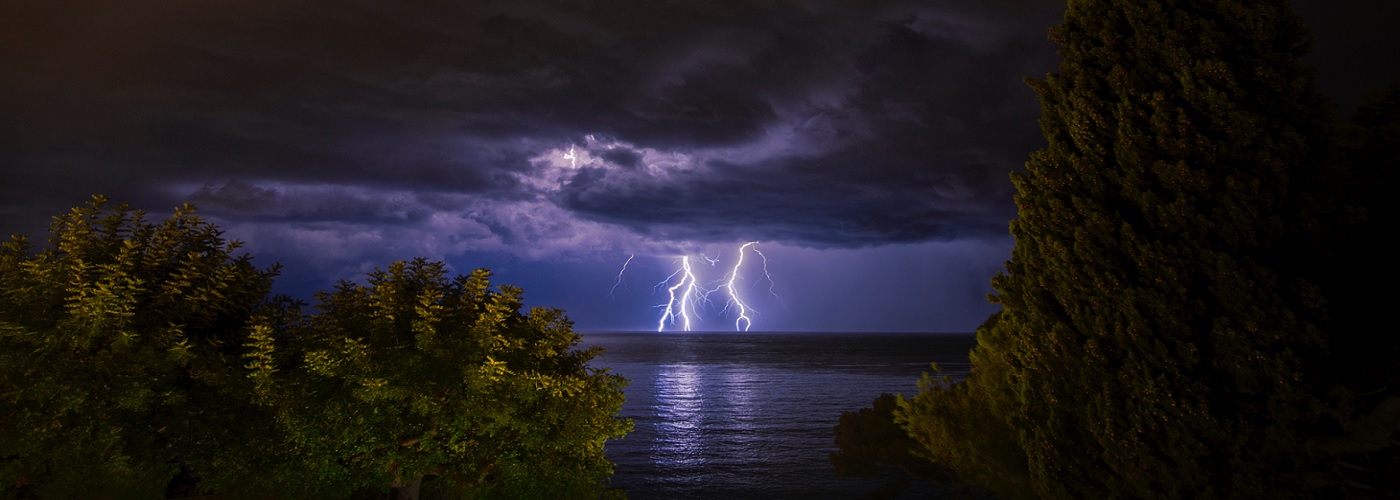

A strong spring storm is expected to produce heavy rain, some snow, and severe weather from the Plains to the East Coast through the weekend.
A low-pressure system is expected to gradually develop and intensify today in southeastern CO, and begin to move east-northeast through the weekend making it into the central Plains late tonight, Midwest on Saturday evening and overnight, and then weaken a bit as it makes it into Ontario Canada on Sunday. Precipitation will gradually increase in coverage today and then especially into tonight from the central Plains around the low, east to the Mid-Atlantic along and near a warm front and south to the southern Plains near and ahead of a cold front. Widespread rain totals in the 1 to 2 inch are likely in areas along and north of the warm front with lesser totals further south near the cold front. Severe weather will become an issue as well today with the greatest chances coming from eastern KS to central IL with large hail the higher risk, and Saturday with the greatest chances coming in the southeast IA/northeast MO/north-central IL region with an increased threat for very large hail and tornadoes. A few severe storms will even be possible as far north as central WI and central lower MI on Saturday as well. A couple of inches of snow is even possible later this evening into the overnight in northeast CO and parts of western NE as some cooler air develops on the backside of the low.