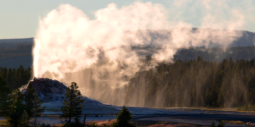
Meet the Meteorologist
What's your favorite weather phenomena?
What got you interested in the weather?

More wet weather is expected this weekend than last weekend affecting the Southeast, Mid-Atlantic, Pacific Northwest, and the north-central parts of the country.
First, the remnants of Beta will continue to affect the Southeast and Mid-Atlantic with scattered showers and a few storms through the weekend. Heavy rain will still be possible today in parts of southeast KY, eastern TN, NC, and the Virginias, and lingering in eastern NC possibly into Saturday.
Heading to the Pacific Northwest, a strong wave of energy will produce rain initially in western WA and northwest OR, possibly heavy at times early today. This activity will build eastward into northern ID and northwest MT this afternoon and evening, and then into northwest WY by the overnight. This activity should become more scattered through Saturday and will mostly be done by Sunday afternoon or evening in these regions.
Finally, into the north-central part of the country a system develops in the eastern Dakotas or western MN on Saturday increasing shower chances in northern and northeast MN and northern WI during the evening and building through the UP of MI during the overnight. On Sunday a trough will dig into the Plains bringing scattered shower chances to the northern and central Plains, and maybe evening parts of MN and IA as well. This same trough could produce a band of heavier rain Sunday evening from northeast OK to north-central IL.
 Paul Trambley
 Derek Heit
 Jennifer Wojcicki
 Laura Lockwood
 Ray Miller