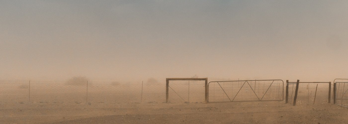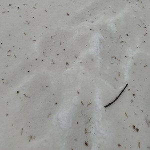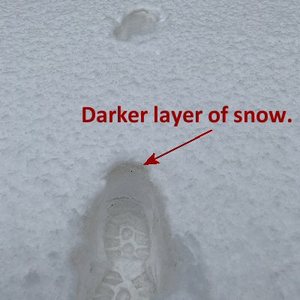

Being from Minnesota, it caught me a little off guard yesterday when I stepped outside and noticed an orange/red-brown layer of snow with the fresh snowfall in the Twin Cities. It was almost like what I would imagine Mars to look like.
It definitely is not normal for this area, and it promoted me to do a little research on why the fresh snowfall looked like this. I found that this coloring was due to dirt and dust that blew in all the way from Texas! When this system was developing on Wednesday, it produced extremely strong winds in Texas that created a lot of blowing dirt and dust. Some of that was able to get into the system and became the nucleus for the snow to form. Snow sometimes does need some outlying help in order to form this "condensation nuclei," as we call it. When these snow flakes fall, they have a distinct coloring to them. Keep that in mind the next time you eat snow!
.@NWSTwinCities Here's the #GOES16 Split Window (10.3-11.2 µm) from 0301-1546 UTC, showing the yellow signature of airborne dust making its way northward overnight: https://t.co/S3YcGr3K5O Should see reports of "dirty snow" from parts of #SDwx #IAwx #WIwx & even the UP of #MIwx pic.twitter.com/uEF6uB4TuC
— Scott Bachmeier (@CIMSS_Satellite) April 11, 2019

