US Weather Spotlight: Christmas 2018
Phil Genskow
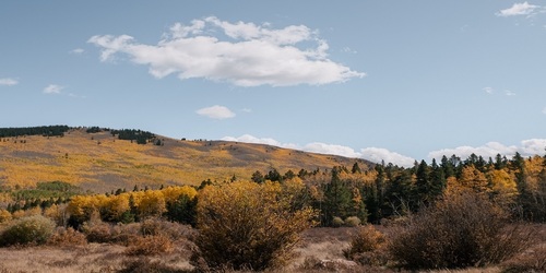
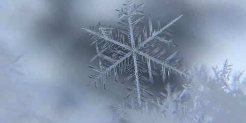
One major feature affecting weather in the western half of the country this Christmas which is an upper trough that will continue to move eastern into and through the Rockies over the next 24 hours. This system will produce rain shower chances for southern CA and NV today and then parts of eastern AZ tonight, and snow chances for central and eastern NV, southern ID, UT, western WY and CO today and then southern and eastern MT and the western Dakotas this evening and overnight. Light rain showers or drizzle is expected to increase in coverage out ahead of this feature in the central and southern Plains during the overnight and even some freezing rain for central and northern NE.

 Paul Trambley
 Derek Heit
 Jennifer Wojcicki
 Laura Lockwood
 Ray Miller