Meet the Meteorologist
What's your favorite weather phenomena?
What got you interested in the weather?
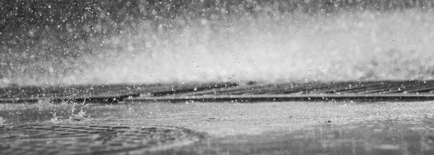

A few snow showers or flurries linger in the eastern Great Lakes and northeast today with some freezing drizzle still possible early creating the potential for slick roads.
Further west a quick moving system moves from the southern Plains early today to the Mid Mississippi River Valley by Thursday morning producing light snow, rain and some freezing rain. Light snow is expected from NE and southern SD east to central IN with the best chance for an inch or two coming in NE and southern SD. Further south light snow or a wintry mix is possible from northern KS to south central IL, and then light rain or drizzle from OK east to southwest IN.
Another strong storm approaches the west coast throughout today and tonight producing widespread rain, mountain snow, and wind for CA western OR and southwest WA then spreading east through the resat of OR and WA and into NV tonight. The heaviest rain will occur along US highway 101 from southwest OR south to Los Angeles and gradually reaching the San Joaquin Valley.


 Paul Trambley
 Derek Heit
 Jennifer Wojcicki
 Laura Lockwood
 Ray Miller


