Meet the Meteorologist
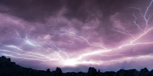
What's your favorite weather phenomena?
What got you interested in the weather?


Active weather from coast to coast through the weekend thanks to 3 separate systems. First one moves through the eastern third of the country today and tonight, second moves into the central part of the country tonight and moves east through the weekend, and third waves of energy will continue to move through the Pacific Northwest. The majority of this precipitation will be in the form of rain showers and a few storms with snows in the higher elevations in the west and New England, and maybe a mix in parts of northern WI, UP of Mi, and northern lower MI early today and possibly at some lower elevations in New England. The biggest story coming out of these systems will be the severe weather potential from the southern Plains tonight, into western Dixie Alley on Saturday and then spreading into the lower to mid Mississippi River, Ohio, and Tennessee River Valleys on Sunday. It doesn't look like a widespread severe weather outbreak scenario, but a lot of areas which can be seen in the yellow on the graphics will have a chance for any storms that develop producing severe wind, hail, and even a tornado.


 Paul Trambley
 Derek Heit
 Jennifer Wojcicki
 Laura Lockwood
 Ray Miller


