
Strong low pressure system continues to move through MN and northwest WI today on its way to Ontario Canada but will still produce rain, snow , and wind in parts of the eastern Dakotas and Midwest today with the heaviest precipitation being over for the most part. A frontal boundary extends well to the east and will affect the eastern third of the country today with showers and storms and some of the storms could produce heavy rain especially in the Mid Atlantic and New England regions this evening and overnight.
Active weather is expected in the Pacific Northwest through the weekend as waves of energy affect that region and produce rain and snow showers, but really nothing too significant with much of this activity staying fairly light.
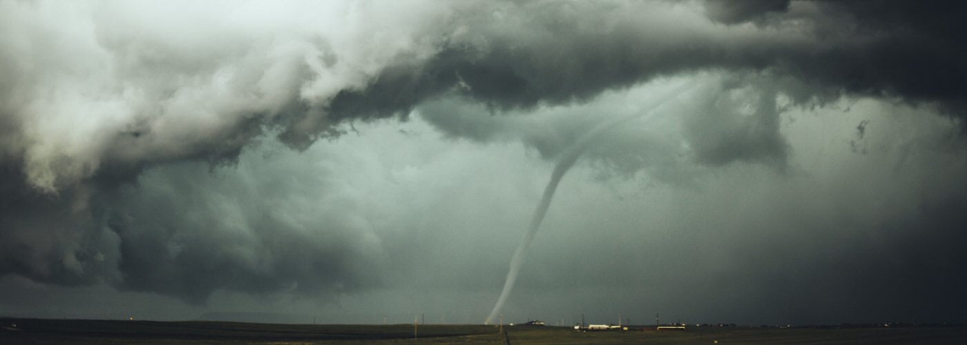
The most significant weather through the weekend however will come with a system getting organized and beginning to intensify in TX overnight and then move northeast into the lower to mid Mississippi River Valley on Saturday and then into the northeast by Sunday evening or overnight. Widespread shower and storm activity is expected with this system starting tonight in TX, southern OK, southern AR, and LA. Severe weather will be a possibly over the weekend as well over western Dixie Alley on Saturday and eastern Dixie Alley north to southern OH on Sunday. There will be potential for an outbreak with this active especially on Saturday when strong tornadoes are possible otherwise all severe hazards will be possible over a large area. Some winter weather could develop on the north and northwest side of this system as well possibly bringing accumulating snowfall from the panhandle of TX northeastward to lower MI.