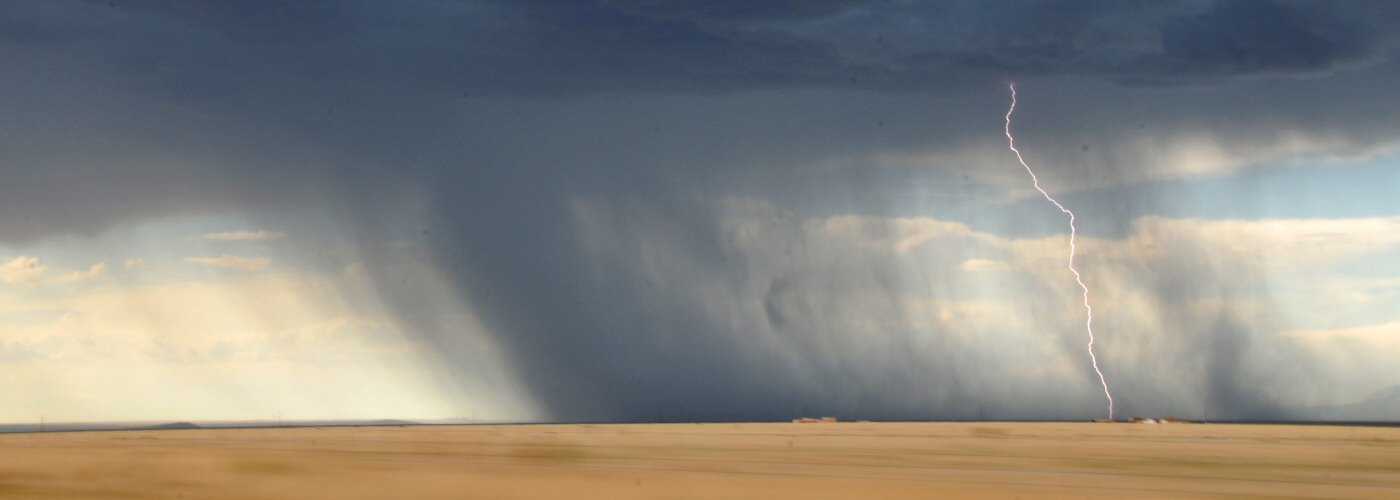

A lot of weather going on across the country through the weekend with heavy rain, heavy snow, and severe weather all likely.
From the Plains widespread shower and storm activity is expected to develop especial near a strengthening low that will move from northeast CO tonight into the Great Lakes by Sunday along a frontal boundary and then ending up in eastern Ontario Canada by Monday morning and a cold front that will move across the southern part of the country through the weekend. Heavy rains are expected along and north of the front extending east from the low in the Dakotas, MN, WI, and the UP of MI. A severe weather threat will exist as well beginning in the central and southern Plains today with the threat gradually moving east through the weekend.
The western part of the country will along see some widespread precipitation thanks to two separate systems producing rain and even snow through the weekend. Rain could become mixed with snow or even changeover to all snow at times beginning tonight in parts of the western Dakotas, MT, and WY. Rain and snow will extend further west into ID, NV, WA, OR, and CA as well with the heaviest rain expected in northern CA over the weekend and the heaviest snow in the Sierra Nevada where some could get 2 feet or more.