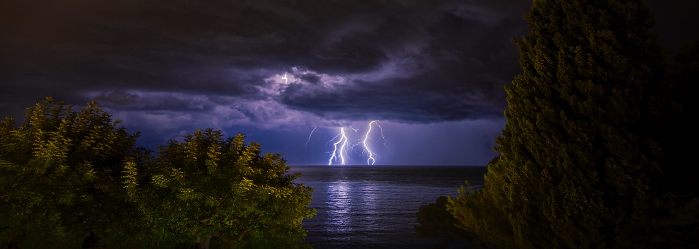

A high pressure system that will be stationary over the southeast will impact the weather over much of the country through the week. It will help keep a frontal boundary meandering around the sames areas producing severe weather in from the southern Plains to the Midwest and east to the northern Mid Atlantic states and northeast. Tornadoes, large hail, damaging winds, and heavy rain will be possible with some of the storms developing near this front. The Pacific Northwest and northern Plains will continue to be wet at times as a trough will be in place in the west. Finally in the southeast this high pressure system will aid in summer-like conditions with widespread highs in the 90s with a few 100s even possible in the eastern Carolinas, southwest GA, and north central FL.