Meet the Meteorologist
What's your favorite weather phenomena?
What got you interested in the weather?

Hurricane Dorian continues to be a big story into the weekend as it continues to move north and east close to the gulf stream from off the NC coast early today, and then picks up speed and passes well to the east of the Mid-Atlantic and New England coasts. Dorian will still be close enough to produce tropical storm conditions from southeast VA to eastern Massachusetts where tropical storm warnings are in effect. Tropical storm warnings still continue early today for some inland areas of eastern NC, and hurricane warnings along the coast, but conditions should gradually improve in these areas over the next 12-24 hours.
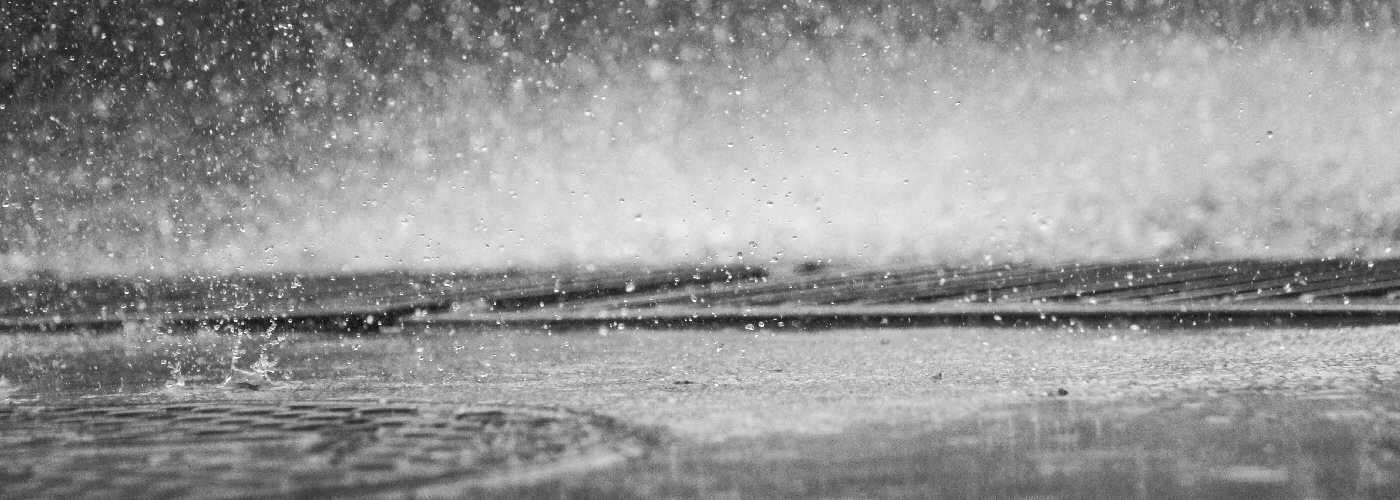
Elsewhere, wet weather is expected in the eastern Great Lakes today, and New England over the weekend as an upper disturbance tracks through those regions, but nothing major here as much of this activity will be scattered.
Further west into the mountain regions of the west scattered showers and a few storms are possible today and tonight, and this activity builds east late tonight and through the weekend affecting the northern and central Plains and Midwest. A few storms today from northeast OR east through WY and south into northeast CO, central Plains Saturday, and the central High Plains Sunday could become severe with mainly a hail threat though a severe wind gust can't be ruled out.
 Paul Trambley
 Derek Heit
 Jennifer Wojcicki
 Laura Lockwood
 Ray Miller