Meet the Meteorologist
What's your favorite weather phenomena?
What got you interested in the weather?

Upper trough moves into the Rockies today, Plains on Saturday, and then into the Midwest on Sunday producing the potential for severe weather heavy rain and even some snow.
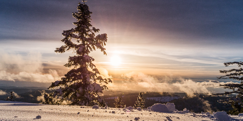
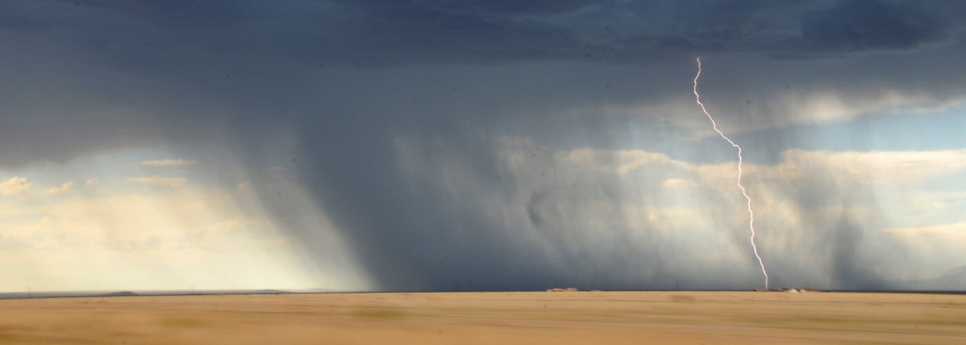
Initially scattered rain showers in the Pacific Northwest and the northern Rockies today in the vicinity of or behind this system, and heavy snow potential as well in the higher elevations of southwest MT and northeast WY, but the most active weather is expected ahead of this feature. The Plains and Midwest will be affected today and Saturday, and the eastern Great Lakes, Ohio River Valley, and southern Plains on Sunday. A summerlike warm and moist environment will be present in these regions resulting in a severe weather threat today in the Dakotas and northern High Plains, central IA to central KS Saturday, and possibly a lingering threat on Sunday from southwest OH to central OK. The rain could be heavy as well with some spots from northern IL to central KS, eastern ND, and northwest MN accumulating over 2 inches through the weekend.
Active weather returns to the Pacific Northwest by Sunday as the next trough of low pressure builds into that region.
 Paul Trambley
 Derek Heit
 Jennifer Wojcicki
 Laura Lockwood
 Ray Miller