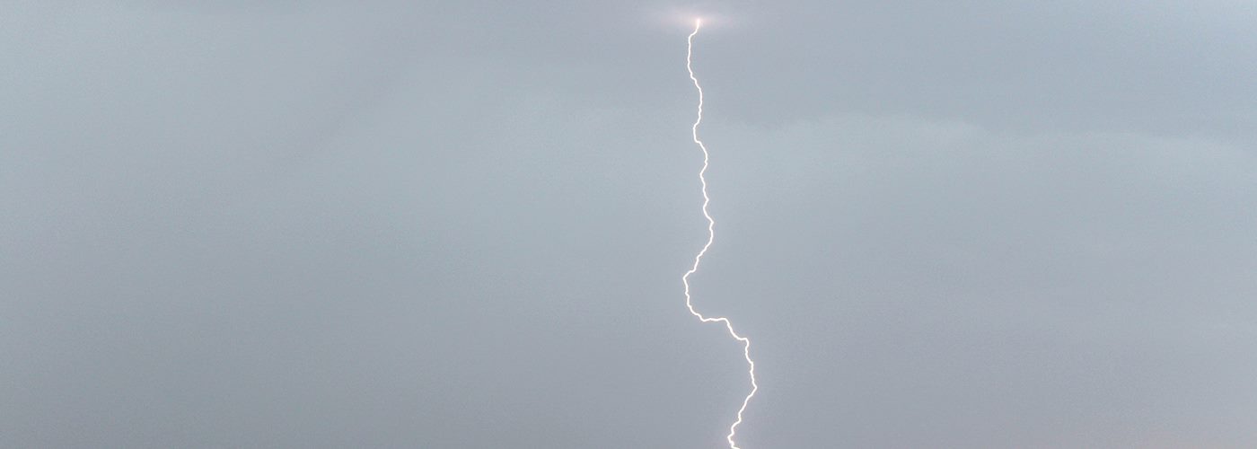

Isolated to scattered showers and storms are expected across a good chunk of the country through the weekend.
First, in the Northeast, a cold front will move through this region, and scattered showers and storms are expected near and ahead of it. A few of the storms could become severe in parts of New England later this afternoon and evening with the primary threat being damaging winds though some hail and maybe a tornado is also possible.
Next, weak surface boundaries will be around areas from the Gulf Coast to the Southeast. Scattered showers and storms are likely from east TX to the Mid-Atlantic states and south with heavy downpours the main threat with this activity.
Finally, a trough will move from the Northwest today to the Upper Midwest by Monday morning and will produce isolated to scattered showers and storms for the Rockies, Plains, and parts of the Midwest. A few severe storms will be possible ahead of this feature at times where stronger type disturbances will track. This evening the potential for a few severe storms will be in the Northern High Plains including eastern MT and the western Dakotas where some hail and wind will be possible. Saturday severe storms become possible across much of MN and possibly into parts of northwestern WI where hail and wind will be the main threats, though a tornado threat could develop depending on lingering effects from early day storms in this region.