Meet the Meteorologist
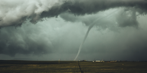
What's your favorite weather phenomena?
What got you interested in the weather?

One main large-scale system will be the focus for rain and snow across the eastern two-thirds of the country.
The main activity along and ahead of the leading edge of this feature will be scattered rain and snow showers from New England southwestward to east TX east to the coast. Further north and west we will see alternating low and high-pressure systems moving from Canada to the Northern plains to the Midwest and Great Lakes. A good amount of real estate will have a chance at picking up a couple of inches of snow accumulation, but not much in the way of widespread significant accumulations. Eastern ND, northern MN, northern WI, UP of MI, lower MI, northwest IN, western NY, VA, NJ, Long Island, parts of RI, CT, and MA, in addition to up and down the Rockies and possibly the OK and TX panhandles all have a chance at getting at least an inch or two of snow. Some areas will get 3 or 4 inches and even a few isolated higher amounts especially where winds of parts of the Great Lakes could create lake enhancement. The best chance at significant moisture will come in the far Southeast when a cold front works its way through FL and off the Southeast coast creating a chance for heavier downpours for central and southern FL northeastward to off the Carolinas and GA coasts Sunday afternoon and night.
https://origin.wpc.ncep.noaa.gov/pwpf/wwd_accum_probs.php?ftype=probabilities&fpd=72&ptype=snow
https://origin.wpc.ncep.noaa.gov/qpf/d13_fill.gif?1644566805765
 Paul Trambley
 Derek Heit
 Jennifer Wojcicki
 Laura Lockwood
 Ray Miller