Meet the Meteorologist
What's your favorite weather phenomena?
What got you interested in the weather?
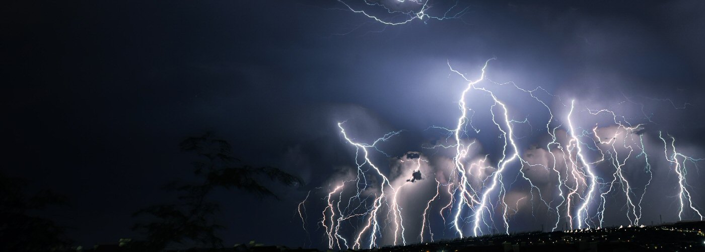

A couple of different features will be highlighted through the weekend producing showers and storms with some heavy downpours and even a few severe storms.
First, an upper disturbance gains strength this evening in the Dakotas and moves east southeastward through the weekend. Initially, storms will be isolated this afternoon and evening in the Dakotas, then coverage increases later this evening in eastern ND and northern MN and makes it into northern WI, the UP of MI, and northern lower MI towards Saturday morning. These storms will continue east through the eastern Great Lakes on Saturday afternoon and evening and finally through New England Saturday overnight and early Sunday. A few severe storms will be possible with this activity with the better chances this evening and overnight from eastern ND to northwest WI, and then lower MI, southeast WI, and northeast IL on Saturday. A frontal boundary will follow this disturbance, but will not get active until late Saturday night and Sunday affecting areas from New England to the Ohio River Valley and further west through northern MO and eastern KS.
Finally, an upper low will move from western TX westward to AZ through the weekend producing scattered showers and storms for UT, NM, CO, and AZ with some activity getting as far east as West TX and as far west as southern NV and southeast CA. Isolated activity could develop by Sunday into parts of the High Plains as well.


 Paul Trambley
 Derek Heit
 Jennifer Wojcicki
 Laura Lockwood
 Ray Miller


