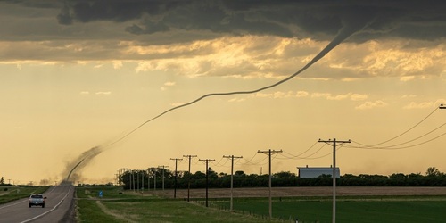

The jet stream will reside across the northern tier of the country through the weekend and this is where the bulk of the storm activity will be including some severe weather.
First, any showers and possible storms across parts of MN, WI, IA, and NE are expected to diminish by midday, then redevelopment is expected later this afternoon/evening over some of the same areas as a disturbance develops close to the MN/IA Stateline. A few isolated severe storms cannot be ruled out with this activity.
Next, a much stronger disturbance develops overnight tonight in the Dakotas and will move east-southeast through Saturday night into the Great Lakes. Initially, a few storms that develop in the eastern Dakotas and northwest MN could become severe, but the greater chances will come during the afternoon and evening across central/southern MN, northern IA, and much of WI. The highest risk will occur in east-central and southeast MN and west-central WI with very large hail possible, damaging wind gusts, and a few tornadoes.
Finally, another disturbance develops early on Sunday in central MT and moves east-southeast into the central Plains by evening and overnight. This feature will produce scattered showers and storms from central MT south through the Rockies and east-southeast to the central Plains including NE and KS.


