Meet the Meteorologist
What's your favorite weather phenomena?
What got you interested in the weather?
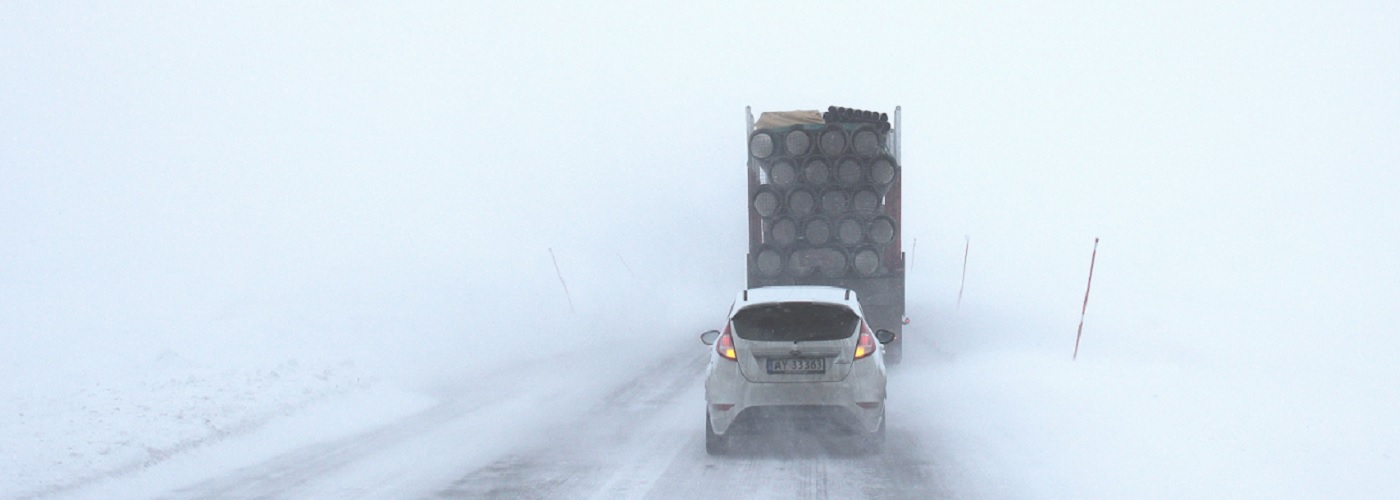

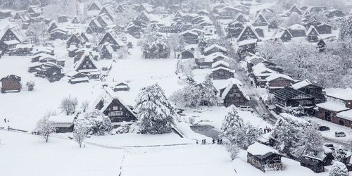
A low-pressure system that had been affecting the central and eastern part of the country the last few days will continue to spin in eastern Canada today while another system builds east through southern Canada throughout today. These systems will merge and become one and still be spinning in far eastern Canada by Monday morning with just isolated precipitation still possible in parts of New England. As for today and the weekend scattered rain/snow showers are expected at times in the Great Lakes, New England, and as far south as parts of the Mid-Atlantic. Snow amounts will generally be around an inch at most with the exception of areas off the Great Lakes where lake enhancement is likely with winds moving across these lakes. Several inches of snow accumulation will be possible in some of the lake effect snow belts in the UP of MI, lower MI, northern WI, northeast OH, northwest PA, and western and northern NY. Several inches could also fall in parts of the higher elevations of WV and eastern PA.
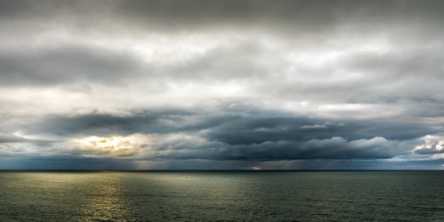
Elsewhere. a trough gradually heads towards the west coast through the weekend producing a few showers in OR and WA on Saturday, but the better chances may hold off until late Sunday night as a surface low and cold front build into CA.
 Paul Trambley
 Derek Heit
 Jennifer Wojcicki
 Laura Lockwood
 Ray Miller