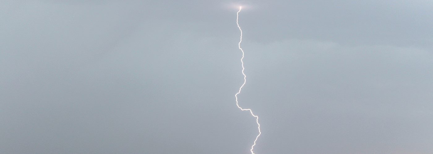

Much of the active weather through the weekend will be found near both coasts while it will be fairly quiet for most in-between in the central part of the country.
First, in the eastern third of the country, a cold front will move through this region producing scattered shower and storm activity with some severe weather possible. Best chances for a severe storm today will be from eastern OH to northern VA to western VT with a lesser threat expected further south into the Carolinas. The severe storm chance is more marginal on Saturday and mainly in southeast VA and northeast NC, and much if not all of these storm chances should be done by Sunday.
Further west a frontal boundary will be fairly stationary in the northern to central Rockies region and begins to move east as a warm front sometime Sunday. Mainly isolated to widely scattered storms are expected from western MT to the central High Plains at times. A severe storm can't be completely ruled out with this activity with the threat being in southwest MT and northwest WY today, from western MT to northeast CO Saturday, and then into the central and northern High Plains on Sunday.
Finally looking at the west coast a storm system will begin developing today of the CA coast and will track north through the Pacific Northwest through the weekend. Initially, ahead of this system an isolated shower or storm is possible from central OR to central ID, but chances really begin to increase in central CA early Saturday and move north through the weekend with much of the precipitation over by midday on Sunday. A severe storm cannot be ruled out today in OR and ID, however better chance develop on Saturday afternoon for north-central OR and central WA.