Meet the Meteorologist
What's your favorite weather phenomena?
What got you interested in the weather?

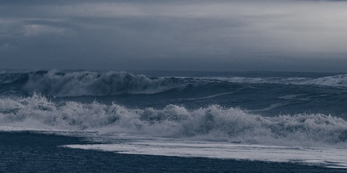
Plenty of active weather going on across the country through the weekend with showers and a few storms that could produce some heavy downpours.
First, an upper low and trough will continue to affect areas from the Great Lakes to the Southeast. Scattered showers and a few storms will accompany these features with some heavy rain potential especially in parts of the Southeast.
Further west a trough slowly moves east from the western third of the country into the Plains bringing shower chances today from southern CA to northwestern MN, Saturday from northeast NV/UT to northwestern MN, and Sunday lingering chances across the eastern Dakotas and Upper Midwest. The good news with this activity is that it is expected to bring much-needed rain possibly in the 2-4 inch range to areas of eastern ND and northwest MN where severe to extreme drought conditions have been ongoing for several months, and on the other hand some snow could mix in parts of the higher elevations of the west Friday and Saturday. Further south on Sunday evening a surface low quickly develops and intensifies in the Central or Southern Plains and produce widespread showers and storms from eastern KS to northeast TX initially and building east into southern IA, MO, AR, and southeast TX during the overnight.
Finally, a low-pressure system will meander around off the coast of the Carolinas and produce isolated to scattered showers and a few storms with heavy downpours possible over the weekend from the Mid Atlantic to FL.
 Paul Trambley
 Derek Heit
 Jennifer Wojcicki
 Laura Lockwood
 Ray Miller