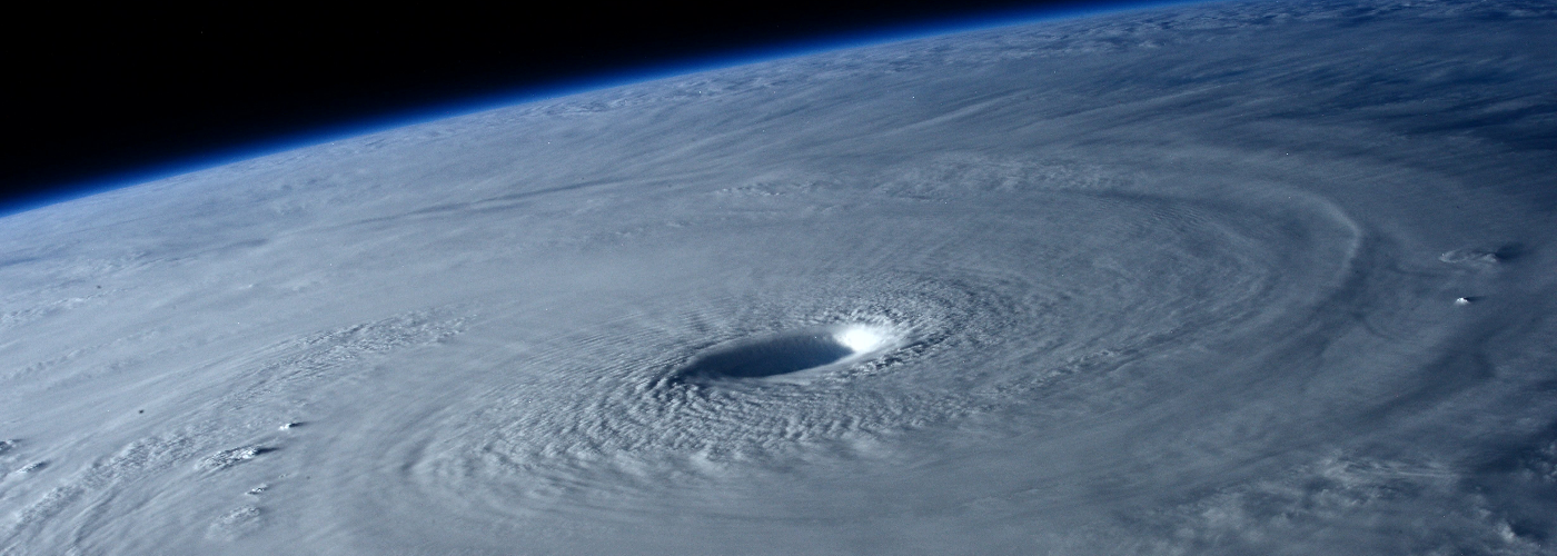

Hurricane Delta headlines the weather stories through this weekend as it is expected to make landfall along the southwest LA Gulf Coast. Delta will be affecting the same areas as laura did in late August as at least a category 3 storm with a chance at becoming a 4 if it can gain a bit more strength before heading inland late this afternoon or early evening. Dangerous storm surge is expected along the LA coast and it could extend further west to parts of TX and east to MS. In addition to the strong winds and storm surge widespread 5-10 inches of rain is possible across LA and into southeast AR and northwest MS with some spots especially in LA picking up over 10. Delta will continue northeastward through the weekend and dissipates somewhere in east TN or east KY by early Sunday, but the remnants will continue to produce heavy rain into eastern OH and PA on Sunday and making it to southern New England possibly by overnight Sunday.
The other system that will be tracked the next few days will be a trough of low pressure that will move into the Pacific NW overnight tonight and make it into the northern Plains by Sunday evening. Shower chances are expected in the Northwest through the weekend with lesser chances building east of the Rockies into the northern Plains as this system runs into a dry air mass, but as it makes it into MN, IA, and northwest WI later Sunday evening/overnight it will be able to pull up moisture from the Gulf and produce much-needed rainfall in these areas with an inch possible.