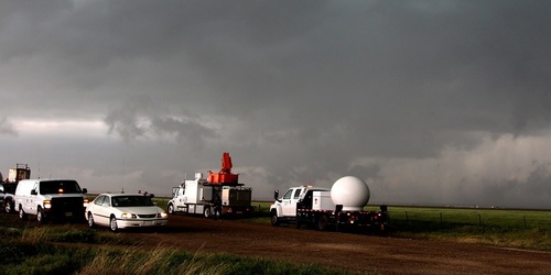
Meet the Meteorologist
What's your favorite weather phenomena?
What got you interested in the weather?

Two systems affect the country through the weekend, one in the east with rain, and another building from the Northwest to the Southern Plains with mostly snow.
The first system in the east will see a low-pressure system move from the Great Lakes today and through Canada early in the weekend with rain ahead of a front that begins extended from the Great Lakes to the Gulf Coast and builds east the next few days with much of New England remaining dry while chances linger through the weekend from the Mid-Atlantic south to FL.
The other system will be a trough of low pressure that will move from the Pacific Northwest today and make it into the Southern Plains by Sunday night. The majority of the precipitation with this system will be snow a colder air remains in place across the Rockies and Plains. Rain is expected for western and southern WA, and western and northern OR, but then widespread accumulating snow is likely from the north and eastern WA southeastward to northern KS. Accumulating snow may build as far east as western and northern IA, and southern MN during the weekend.
 Paul Trambley
 Derek Heit
 Jennifer Wojcicki
 Laura Lockwood
 Ray Miller