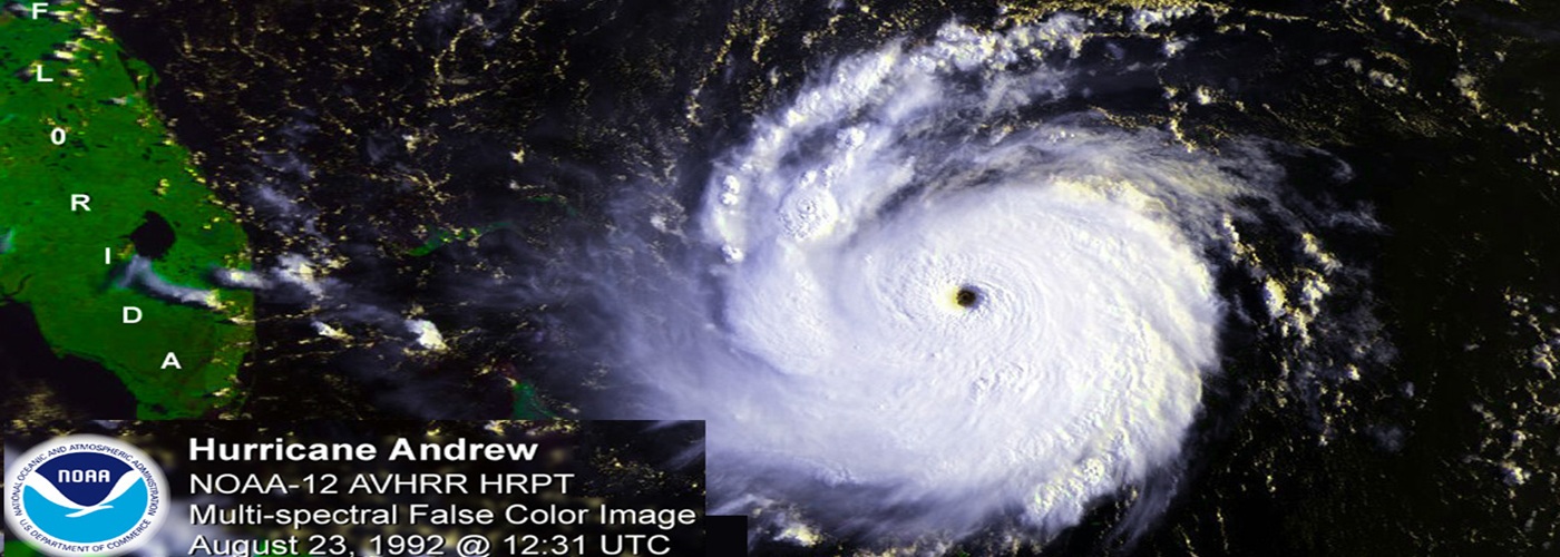

This week back in 1992, on August 24, Hurricane Andrew made landfall near Homestead, Florida. This Category 5 storm was the costliest natural disaster in U.S. history, at the time.
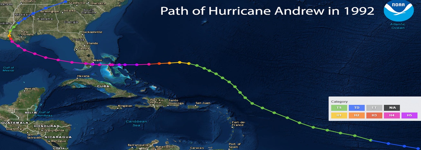
Forming from a tropical wave, which exited the African coast near the Cape Verde Islands, as Andrew continued to move northwest and then westward, the storm intensified slowly at first, then rapidly intensified. Just before reaching the Bahamas, Andrew attained Category 5 strength (the highest) on the Saffir-Simpson Hurricane Scale.
Undergoing some minor fluctuations in intensity, as strong hurricanes often do during so-called "eyewall replacement cycles," Andrew dipped to Category 4 strength for a time while crossing the Bahamas. Upon initial reports and reviews of the storm in the early 1990s, it was thought that Andrew had maintained this Cat 4 strength upon landfall near Homestead, Florida. However in a subsequent 2004 study, Andrew was actually found to have had regained Cat 5 strength right upon landfall near Homestead, Florida in the early morning hours of August 24.
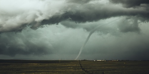
In the case of Andrew, it was the high winds of 160+ mph at landfall near Homestead that did the most damage. Winds this strong produced tornado-like phenomena such as objects being impaled into tree trunks. Andrew's winds, in such a populated area, wrought extensive property damage with estimates of 60,000+ homes destroyed in South Florida, leaving 175,000 homeless, and far more without power in the hot and humid conditions. Andrew would go on to cross Florida, enter the Gulf of Mexico, and make a second landfall over Louisiana on August 26. Damage was less severe in Louisiana.
Hurricane Andrew would reign supreme as the costliest hurricane in U.S. history (when adjusted for inflation) for 13 years, until Hurricane Katrina far surpassed Andrew in damages in 2005 across the Gulf Coast. Even though Andrew was a stronger storm at landfall compared to Katrina, it was a smaller storm and thus was unable to generate as widespread of a destructive storm surge as Katrina produced.
Of note though, if Andrew had hit just 15 miles to the north, the strongest winds of the eyewall and largest storm surge would have been able to overrun Biscayne Bay, which would have caused significantly more damage in downtown Miami. Thus, even though Andrew brought terrible devastation to South Florida, it could have been even worse.
