Meet the Meteorologist
What's your favorite weather phenomena?
What got you interested in the weather?
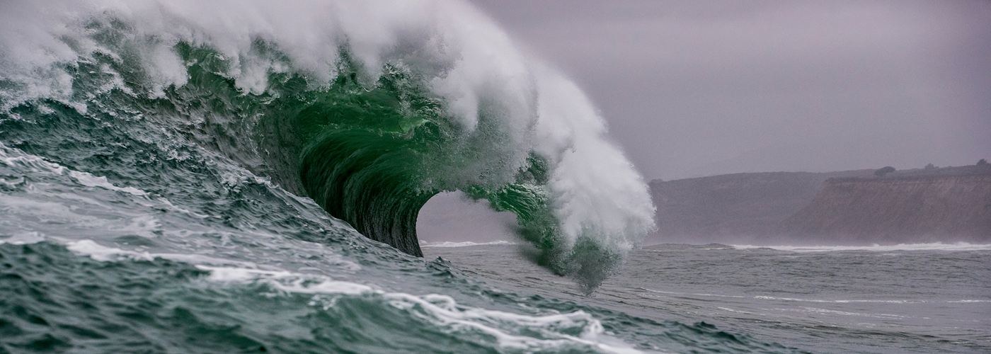

A NASA satellite has provided the first high-resolution, wide-area view of a major tsunami generated by a subduction zone earthquake, offering new insights into how these destructive waves travel across the ocean.
The observations came after a magnitude 8.8 earthquake struck the Kuril-Kamchatka subduction zone off Russia's Kamchatka Peninsula on July 29, 2025. The powerful quake, one of the six largest recorded since 1900, triggered a tsunami that spread across the Pacific Ocean.
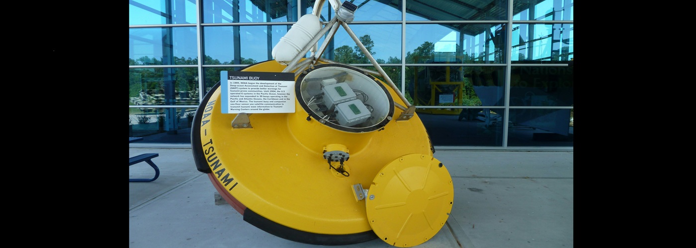
Researchers combined data from NASA's Surface Water Ocean Topography (SWOT) satellite with measurements from Deep-ocean Assessment and Reporting of Tsunamis (DART) buoys. Unlike previous satellites, which could only observe narrow slices of a tsunami, SWOT captured a swath of ocean about 120 kilometers wide, providing an unprecedented look at the wave's evolution.
The data revealed that the tsunami behaved in a more complex way than scientists had expected. Rather than maintaining a simple, uniform shape, the waves dispersed and interacted as they crossed the Pacific. Computer simulations that included this dispersive behavior matched the satellite observations more closely than traditional tsunami models, suggesting forecasting systems may need to account for these effects.
The observations also helped researchers refine their understanding of the earthquake itself. By working backward from the tsunami measurements, the team concluded that the rupture extended roughly 400 kilometers along the fault, about 100 kilometers farther south than earlier estimates based primarily on seismic data.
The findings highlight the value of combining satellite observations, ocean buoys, and seismic measurements to better understand major earthquakes and the tsunamis they generate. Researchers say future satellite missions could eventually contribute to near-real-time tsunami forecasting, improving warnings, and helping coastal communities prepare for approaching waves.
 Paul Trambley
 Derek Heit
 Jennifer Wojcicki
 Laura Lockwood
 Ray Miller