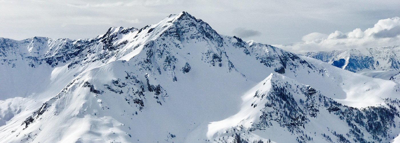

Lake effect snow showers come to an end early today in the Great Lakes with just another inch or two at most possible. Snow showers continue in parts of the northeast as well mainly in central and northern NY, NH, VT, western ME, western PA, and eastern WV where a breezy up slopping northwesterly flow regime will be in place. The highest snow totals will be in central and northern NY and northern VT where 4 or more inches could fall, and an inch or two elsewhere.
Rain and snow shower chances continue in the Pacific Northwest and increase further east in eastern CO and AZ and NM into the evening. Rain also makes into west TX overnight. The highest snow totals in this region will be in northern NM and eastern CO.
