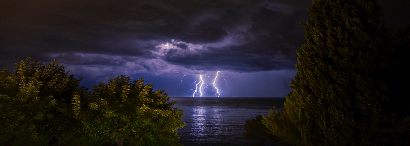

The main feature affecting the weather pattern across the country through the weekend will be an upper ridge located over the central part of the country. Isolated shower and storm activity is possible on the western side in the Pacific Northwest, better chances for storms in the northeast over the weekend while staying mainly dry today, scattered storms underneath in the south, and the best chances will track along the ridge from the Rockies to the northern Plains to the Midwest. Some of the storms could get strong to severe in eastern MT and western ND today and tonight, then spreading east through ND and into northwest MN on Saturday, and finally, southeastward through the rest of MN and into WI on Sunday. This will be all possible thanks to widespread highs in the 80s and 90s and dew points in the 60s and 70s in the Plains and Midwest creating a muggy and unstable air mass. A few 100s or above are possible under this ridge as well in parts of central SD, central NE, western KS, and eastern CO.