Meet the Meteorologist
What's your favorite weather phenomena?
What got you interested in the weather?
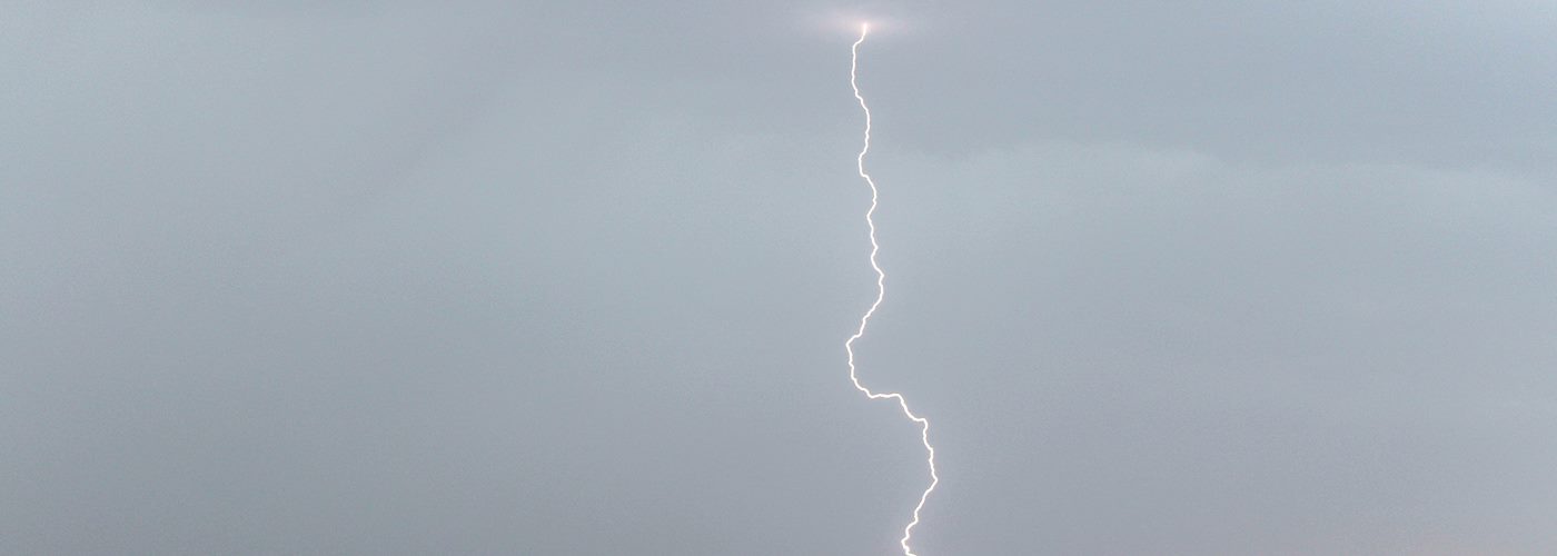

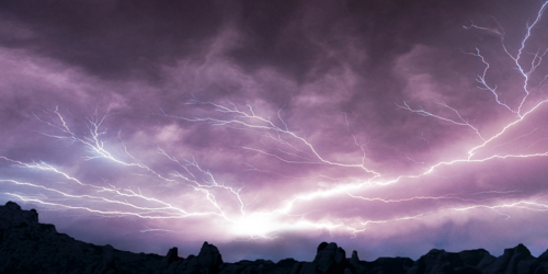
A lot of active weather is expected across parts of the country through the weekend producing heavy rain, heavy snow, and a chance for severe storms.
The first feature is a cold front that will mainly affect the southern Plains to Great Lakes with some isolated storms becoming severe with main threats wind and hail, and the highest chance for this will be from northwest IL to northeast KS. This front moves further east on Saturday to bring another chance for isolated severe storms Northeast to the southern Plains with the higher chances occurring in eastern KS and western MO where part of this cold front becomes a warm front.
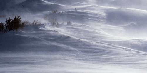
The other feature is an upper trough that will dig into the western US into the start of the weekend and will be slow to move east. Initially scattered rain showers and expected from the Northwest to the northern Plains with some snow mixing in at higher elevations. This precipitation becomes more widespread in this region and builds further east into the Midwest over the weekend. Isolated severe storms will become possible on Sunday ahead of this trough in the eastern Dakotas, MN, northeast NE, and western IA. Further west a gradual change over to all snow or a mix develops for eastern WA and OR, northern NV and UT, ID, and western MT with several inches of snow possible especially in north-central MT where 1-2 feet could accumulate by Monday morning.
 Paul Trambley
 Derek Heit
 Jennifer Wojcicki
 Laura Lockwood
 Ray Miller