Meet the Meteorologist
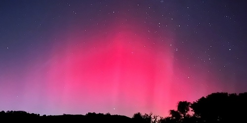
What's your favorite weather phenomena?
What got you interested in the weather?


A frontal boundary and a wavy upper pattern will produce active weather across the country through the weekend.
First, a front will stall out over central FL today and will stick around through the weekend producing scattered showers and storms across central FL with some development possible at times into northern and southern FL. Some of these storms in central FL could become severe with all hazards possible. Isolated to scattered storms are expected to develop further west along the Gulf Coast beginning late tonight in TX and will build east through Saturday.
Finally, across the central and northern part of the country within a wavy upper pattern, a series of systems will track across these regions. These systems will produce scattered rain and/or snow showers affecting the Northeast, Plains, and Midwest today and tonight, the Great Lakes, Pacific Northwest, and Northern Rockies Saturday and Saturday night, as then on Sunday and Sunday night in the Northeast, Northern Plains, Midwest, and the Pacific Northwest. Much of this activity should be light with any snow accumulation mainly staying around an inch or two.


 Paul Trambley
 Derek Heit
 Jennifer Wojcicki
 Laura Lockwood
 Ray Miller


