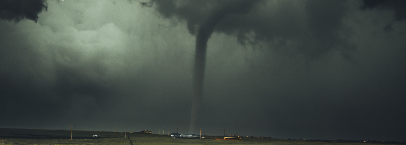

Another low-pressure system and frontal boundary to talk about over the next couple days with more accumulating snow and severe weather likely.
A low=pressure system will be located in central or eastern MO to begin today and is expected to move quickly eastward over the next 24-36 hours making it well off the southern New England coast by Saturday afternoon or evening. Accumulation snows are expected north of the low center from southeast IA to southern New England through early Saturday, and rain is expected southward near a cold front from the southern Plains to the Ohio River Valley today and tonight, and then the Gulf Coast states on Saturday. The cold front makes it close to the Gulf Coast by Saturday evening but then becomes stationary for a short time before beginning to retreat northward as a warm front. This scenario is expected to set up another likely round of severe storms across the Gulf Coast states throughout Sunday and into Sunday night possibly as far west as east TX and as far east as southern SC. More tornadoes, damaging winds, and large hail are anticipated in the vicinity and south of this warm front affected a lot of the same areas that experienced the severe weather outbreak last Sunday.