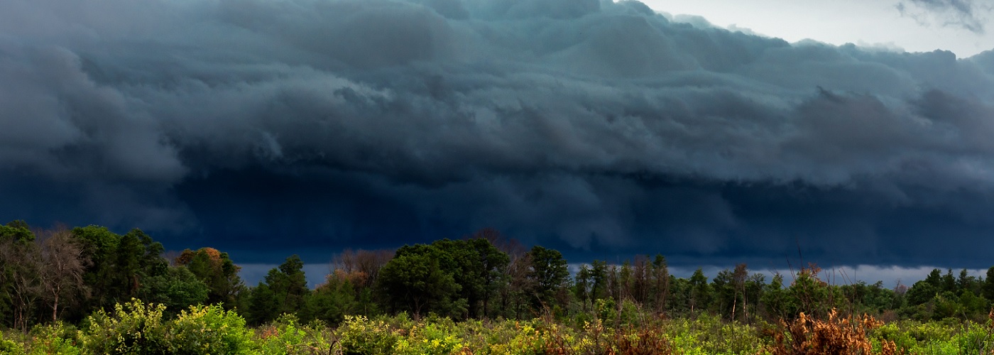

Scattered showers and storms are expected across a good portion of the country in the next few days with a few isolated severe storms possible.
Several features will be trigging scattered shower and storm activity including a trough up and down the east coast through much of the weekend, a front that will be draped from the Central/Southern Plains to the Ohio River Valley to the Northeast and will meander around these regions through the weekend, and disturbances track across portions of the Northern/Central Plains and Upper Midwest. A few isolated storms could be severe, but nothing widespread is expected at this time. The better severe storm risk will be in western SD today, parts of the Northeast Saturday, and possibly parts of the Plains and Upper Midwest on Sunday.