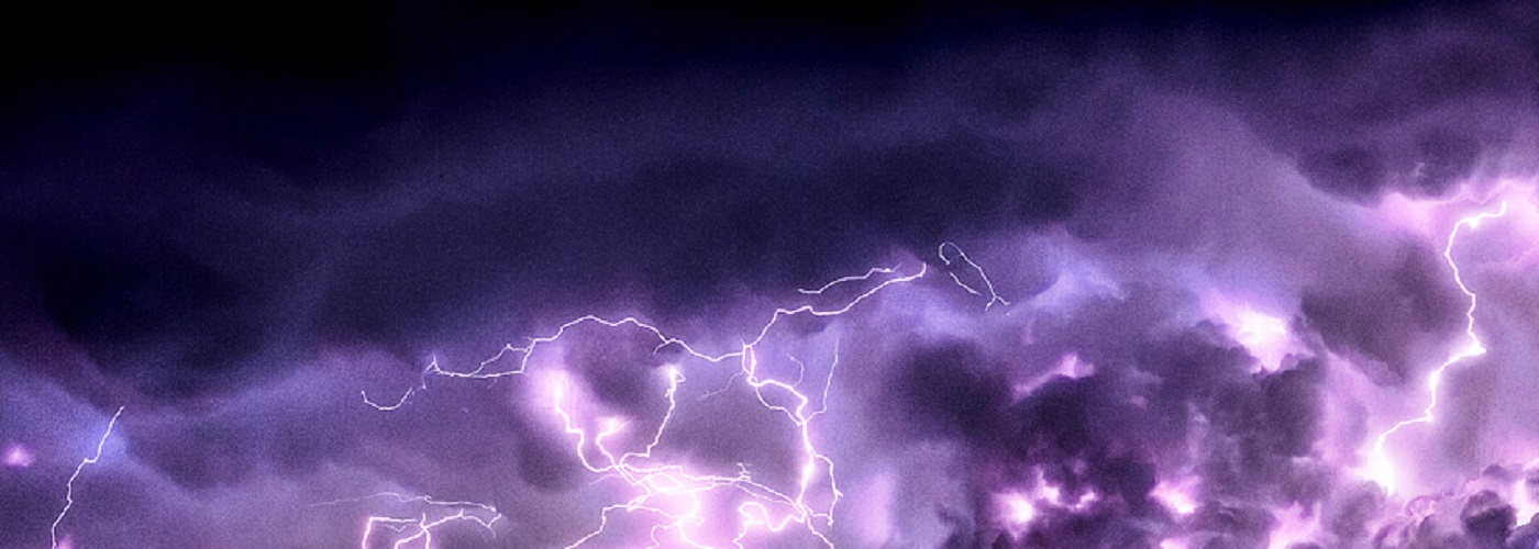

An active pattern will be in place across a good chunk of the country through the weekend producing scattered showers and a few storms.
A trough exits the east today while a trough will be in place in the west. Regions that remain dry will be in areas of the driest air in the Southwest, southern Rockies. southern High Plains and southwest TX, and in areas of high pressure in much of the east today and Saturday, and the Southeast on Sunday. Scattered showers with a few storms are likely at times across the Pacific Northwest, Plains, Midwest, and MS River Valley. Some severe storm will be possible this afternoon and tonight in NE, central TX, MS and west AL, on Saturday central TX, southern IA, northern MO, and western IL, and the better chances will come on Sunday in the Midwest, Mid MS River Valley, and southern Plains. There is alot of uncertainty with timing and placement of the severe storm potential, but it will exist especially on Sunday afternoon and night.