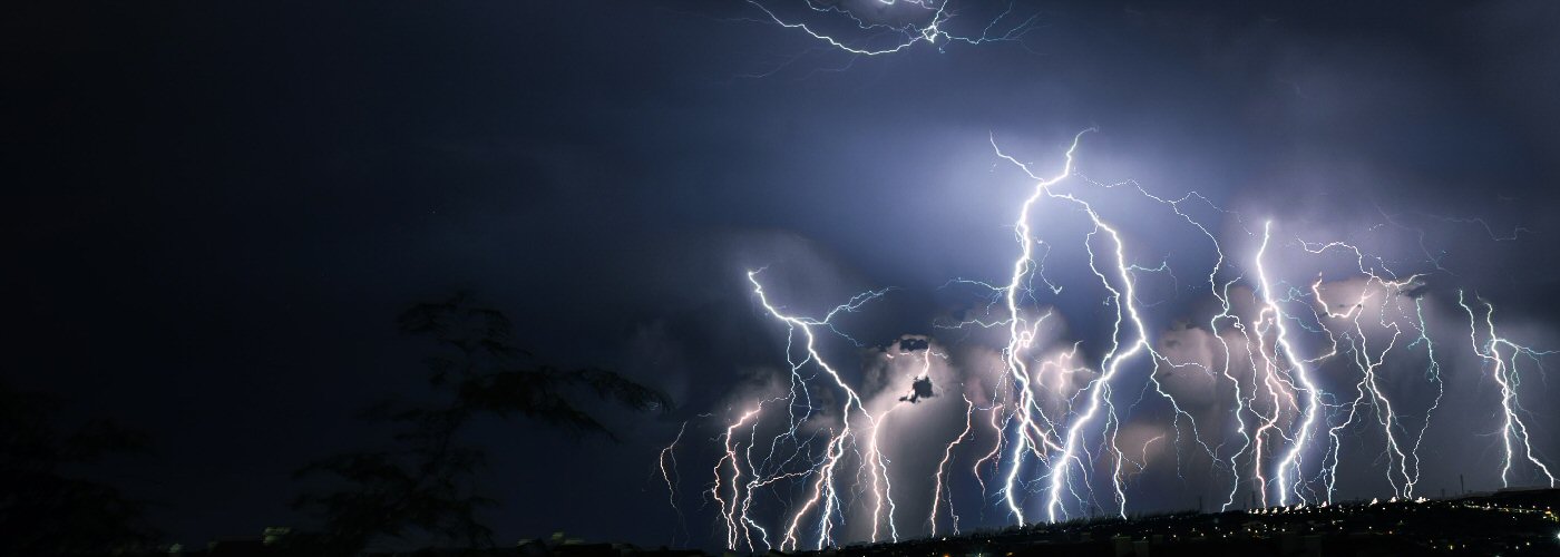

An active weekend for a good chunk of the country with heavy rain, severe weather, and even snow showers all expected.
The first system will continue to work its way through the Ohio River Valley and Mid-Atlantic states today and Saturday. Today will be the most active day with severe storms possible from the Virginias to the central Gulf Coast. Heavy rain will be possible in the areas of possible severe, but perhaps the greatest threat will be a bit north into OH, PA, NJ, MD, and DE where several inches of rain is likely.
Further west, a trough begins to build into the western US and will produce scattered rain and a few snow showers in the Pacific Northwest throughout much of the weekend. Two disturbances will also track across the Northern Plains and into MN, IA, and NW WI Saturday evening and overnight, and again Sunday evening and overnight. These systems will meet up with richer moisture that will be in place in these regions and will lead to scattered showers and storms with heavier downpours possible. A few severe storms will be possible, but the overall risk will be fairly low.