Meet the Meteorologist
What's your favorite weather phenomena?
What got you interested in the weather?
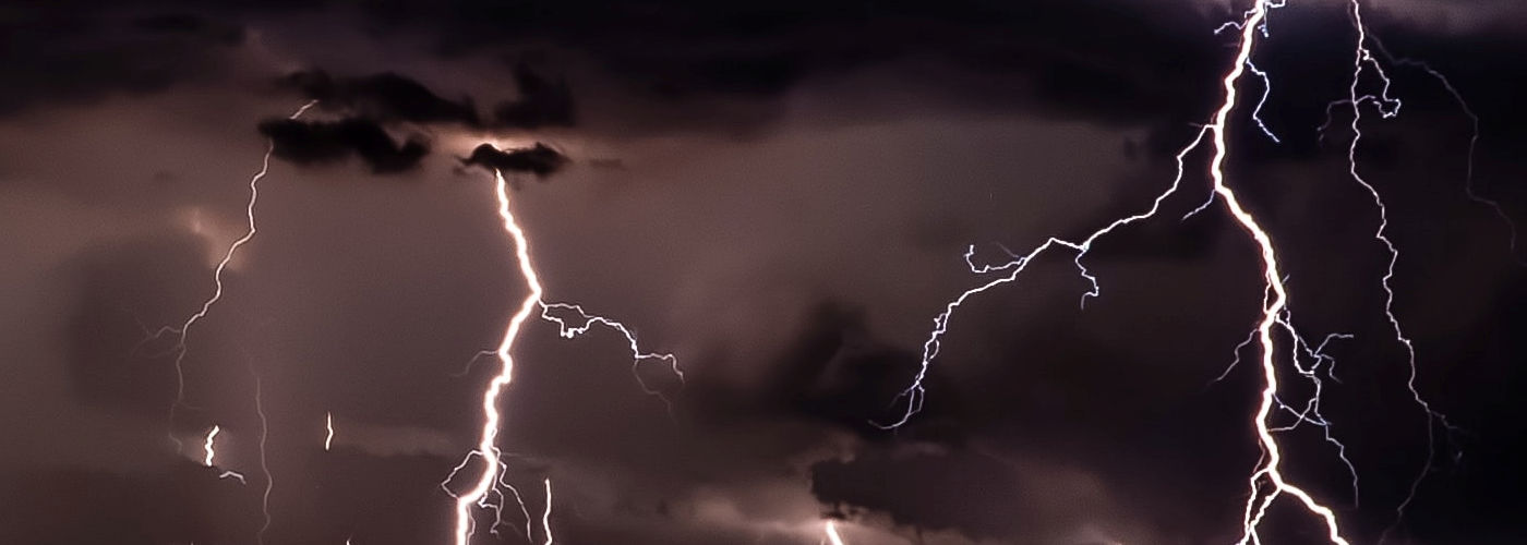

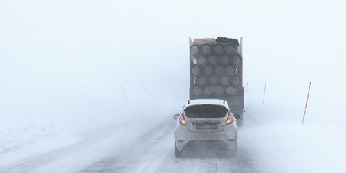
Severe storm chances will highlight the weather stories through the weekend as some areas that have had a slow start and in some cases not much at all to the severe weather season could experience some. A typical setup is expected to be in place with a dip in the jet stream over the western US and a strong southerly flow out of the Gulf of Mexico. Even though all the ingredients are not expected to be that strong including surface boundaries and upper energy at least some severe weather is possible with any of the thunderstorm activity that develops. Today the severe threat will be from the southern Plains to the Ozarks along and to the south of a warm front with higher probabilities of tornadoes and large hail developing in southeast OK and north-central TX. Saturday, the greatest severe threat builds northward along with the warm front in addition to a cold front moving into the central and northern Plains with the higher probabilities of high wind gusts and large hail expected to be in southwest Sd and western NE. Finally, Sunday things look to be a little more unclear as the fronts build further east into the Plains and parts of the Midwest, but the targeted region will be from southeast SD/southwest MN south to western KS. A lot of this severe weather potential will depend on how much sunshine and when it develops in these regions as plenty of cloud cover is expected in all of these regions.
 Paul Trambley
 Derek Heit
 Jennifer Wojcicki
 Laura Lockwood
 Ray Miller