Meet the Meteorologist
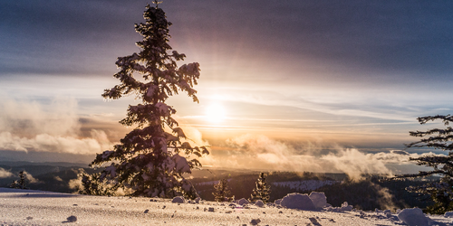
What's your favorite weather phenomena?
What got you interested in the weather?
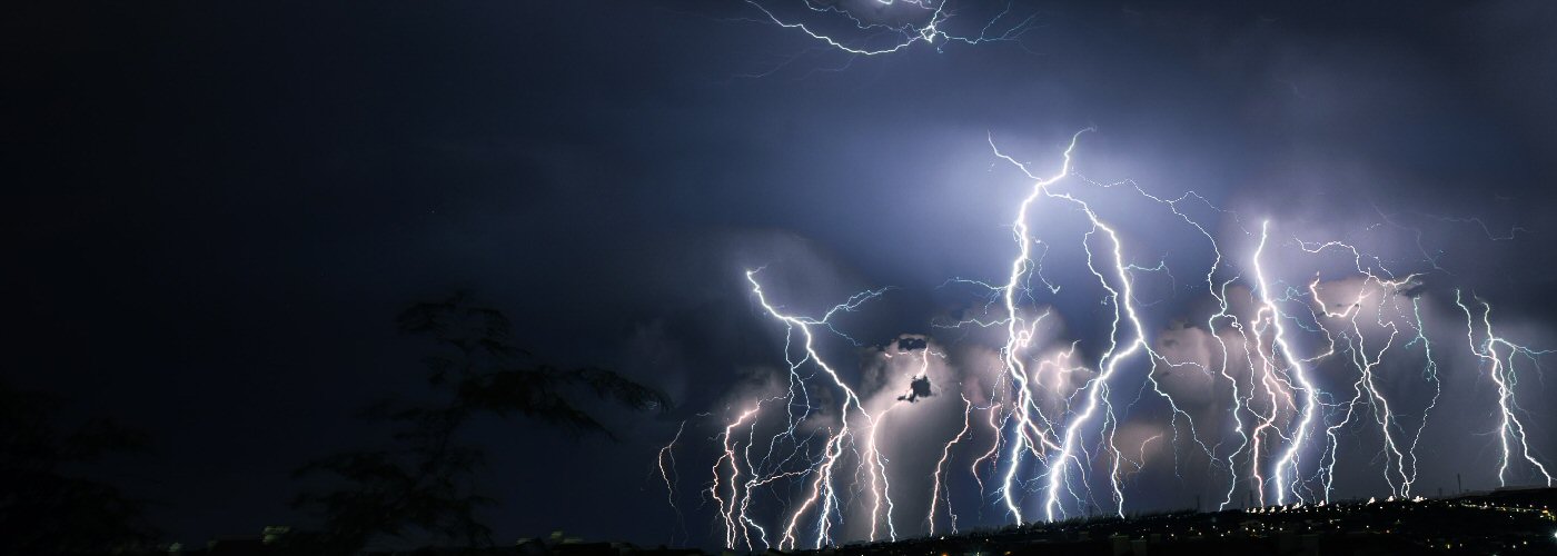

A couple of disturbances, a slow-moving front, and a trough will produce showers, storms with a few severe possible, and accumulating snow through the weekend.
First, a couple of disturbances bring showers and storms to eastern parts of the country ahead of a front that will be draped from the Southern Plains to the Great Lakes. One of these features will affect OH, PA, and NY today into this evening, and into New England late this evening into the overnight. The other will affect FL, southern AL, and southern GA today and tonight then builds further north into the Mid-Atlantic Saturday and Saturday night.
Further west, the front will bring showers and storms to the same areas mostly today and Saturday from TX to the Great Lakes, and moves eastward on Sunday to affect areas from TX through the Southeast and north to the Northeast. A few severe storms are possible, but nothing widespread is anticipated with the better chances coming today in lower MI.
Finally, a trough trails the cold front and will mainly bring scattered light showers to parts of the Plains and Midwest, however heavier precipitation in the form of snow is probable in the Rockies with several inches of accumulation expected with the highest amounts coming in CO.
 Paul Trambley
 Derek Heit
 Jennifer Wojcicki
 Laura Lockwood
 Ray Miller