Meet the Meteorologist
What's your favorite weather phenomena?
What got you interested in the weather?

The upper-level pattern has been pretty consistent over the last week or so and is expected to continue with a trough in the east and a ridge in the west through the weekend. Typically this type of pattern does not favor strong winter storms, but there will be some wintry weather developing in the north-central parts of the country the next couple of days.
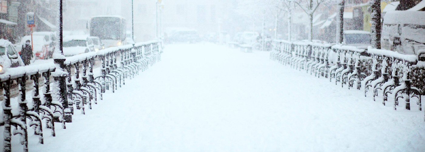
Today a cold front continues to move south and eastward through FL with diminishing rain chances for southeast GA and the eastern Carolinas early today, and a continued chance for showers and a few storms through the day in northcentral and southern FL, and even a redeveloping chance on Saturday for southern FL. Further west a trough will continue to affect southern TX with shower chances mainly along and south of I-10. Isolated lake effect snow showers are possible also today in parts of the Great Lakes where winds will be favorable.
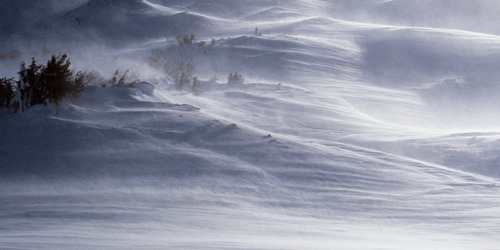
Beginning tonight snow chances will gradually increase across the north-central parts of the country. A weak system will track close to the Canadian border near MN and Lake Superior tonight into Saturday initially bringing scattered light snow showers to northeast ND, northern MN, UP of MI, and northern lower MI where mainly a dusting of snow is possible through Saturday, and even some light rain could mix in in spots during the day on Saturday. Better chances for accumulating snow develops ahead of the next push of cold air in MT on Saturday and then will build southeast into the Dakotas during the day Sunday, and then into NE, IA, and southern MN Sunday night. A few inches of accumulation are likely with this activity with the highest totals expected to be in MT, southwest ND, western SD, and northern NE.
 Paul Trambley
 Derek Heit
 Jennifer Wojcicki
 Laura Lockwood
 Ray Miller