Meet the Meteorologist
What's your favorite weather phenomena?
What got you interested in the weather?
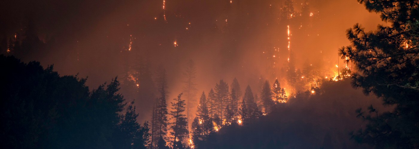

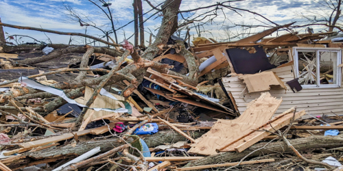
The Santa Ana Mountains are located in Southern California between Los Angeles and San Diego. The range stretches across a 40 mile stretch along the Orange and Riverside county lines. This mountain range is where the term "Santa Ana winds" is derived from as this is a portion of Southern California that experiences them. These persistent and occasionally intense winds develop over the region each fall and are responsible for creating the ideal conditions for wildfires to start and spread quickly.
The beginnings of the Santa Ana winds each season can be traced back to a region in the western US known as the Great Basin. This region spans across Nevada and into western Utah, encompassing much of the desert areas of the US. During late September and early October, this region begins to see a drop in temperatures. The cooler and increasingly dense air eventually results in a surface high pressure system developing over the region. Meanwhile, Southern California tends to remain quite hot during this time of year. This juxtaposition of hot and cool air results in a strong pressure gradient over the western US that results in increased winds. In response to the surface high developing over Nevada, surface winds circulate in a clockwise manner around it. This results in the strong easterly winds, known as the Santa Ana winds, being driven into Southern California.
Since the Great Basin is at a higher elevation than southwestern California, the east winds descend as they reach the area. The air is already inherently dry, as its origin is the desert areas in the Great Basin, but it becomes even drier during its descent into Southern California. This is due to the compressional warming that occurs when winds descend down a mountain range. This effect can be felt on a much smaller scale when pumping a bike tire and feeling the temperature of the bike pump heat up. The hot winds dry out the vegetation in the region, making much of it comparable to kindling wood. Any sparks from power lines or humans will result in a conflagration that is very difficult to fight.
For a visual on how the Santa Ana winds develop, click here.
https://prd-wret.s3-us-west-2.amazonaws.com/assets/palladium/production/s3fs-public/styles/full_width/public/Santa_Ana_Winds_Graphic.jpg
 Derek Heit
 Jennifer Wojcicki
 Laura Lockwood
 Ray Miller