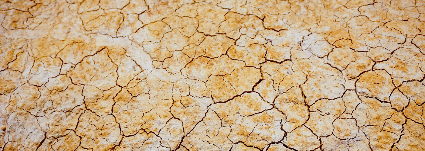

Drought conditions have improved markedly across much of the western United States over the past several months, as a succession of storms have dumped heavy rain and mountain snow. However, the long-term drought hasn't been entirely eliminated, and it doesn’t take very long for drought conditions to worsen once again in the West, or indeed any part of the country. That’s why an innovative tool to monitor droughts could be an invaluable key going into the warm season. This method, developed at Duke University, uses satellite remote sensing to alert scientists and land management officials of potential drought conditions in near real time, compared to the typical month or longer such monitoring used to take.
This satellite method involves measuring the difference in the surface temperature of the plant and tree canopy at a particular location, and comparing it to the air temperature. This difference is called the thermal stress. When trees and other plants have adequate moisture the small pores in their leaves, called stomata, remain open. Water evaporating into the air from these pores helps cool areas near the canopy. However, in abnormally dry or drought conditions, the plants close their stomata to conserve moisture, and thus the plant canopy heats up. Thus, when a region shows an increase in the thermal stress, abnormally dry or drought conditions may follow.
In evaluating this thermal stress metric against other drought predictors over the past 15 years, the team from Duke University found that thermal stress was the most accurate predictor of drought conditions when examining this past data. One caveat with the thermal stress method, though, is that it is less accurate in winter, especially in snow-covered regions.

