Meet the Meteorologist
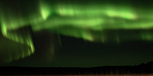
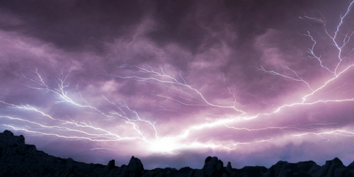
What's your favorite weather phenomena?
What got you interested in the weather?

Winter storm continues eastward today with the low center beginning in the Great Lakes region and racing quickly to the east through eastern Canada and maybe even out to sea by Saturday morning. Precipitation will mainly be in the form of rain through some areas of northern VT and NH, and western ME could still experience some mixed precipitation. Rain chances will be from the northeast all the way south into the southeastern states with a few storms from the Mid Atlantic to the Gulf coast which a few could become severe with high winds the main threat. Light snow and maybe some freezing drizzle lingers on the back side of this system with these chances gradually ending from west to east beginning in eastern NE and SD.
Elsewhere more snow for parts of NM, eastern AZ, and southern CO and UT with the highest totals coming in central NM and eastern AZ. Unsettled weather continues in the Pacific Northwest with more rain and snow chances in that region.
 Paul Trambley
 Derek Heit
 Jennifer Wojcicki
 Laura Lockwood
 Ray Miller