Meet the Meteorologist
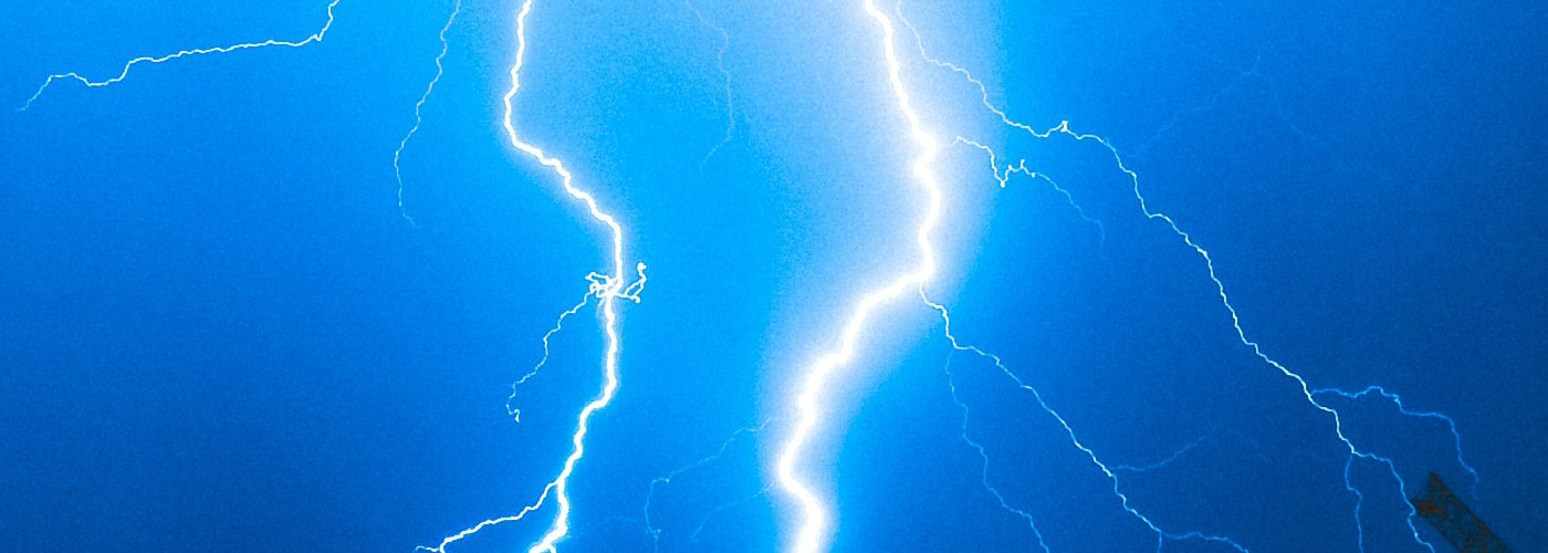
What's your favorite weather phenomena?
What got you interested in the weather?

3 low-pressure systems will affect parts of the eastern half of the country through the weekend producing showers and storms with severe weather also possible.
The first low will continue its slow track to the north and east into Canada by Saturday morning and will continue to produce scattered showers across parts of the Midwest. Shower chances are expected to gradually end early today in IA and northern IL, continue through the day today across much of MN, WI, and MI, and then gradually end by Saturday morning across northern MN and the UP of MI.
The second low will be a much more significant system as it moves from the southern Plains to the Great Lakes over the next few days. Initially, early today isolated to scattered showers and possible storms are expected anywhere from TX to the FL panhandle. Coverage is expected to increase by this afternoon/evening in the vicinity of the low in eastern OK, AR, southeast KS, and southern MO. This activity is expected to continue northeast in the vicinity of the low and due east near a cold front overnight tonight and into the weekend. Precipitation chances will exist at some point during the weekend more much of the eastern half of the country. Some of the rain could be heavy with widespread areas of an inch or more accumulation possible. Severe weather is also anticipated with this system with the greatest threat today and tonight from parts of the southern Plains to central GA, a lesser threat further east on Saturday from southeast LA to northeast AL to the FL panhandle, and then a mainly marginal threat on Sunday from north and central FL northeastward to southeast VA.
Finally, the third low builds into the northern Plains on Sunday bringing rain shower chances to ND and northern SD, and building into northwest MN overnight Sunday.


 Paul Trambley
 Derek Heit
 Jennifer Wojcicki
 Laura Lockwood
 Ray Miller


