
Severe weather potential in the Plains, and watching the tropics through the weekend.
First, today a trough of low pressure moves through the Northern Plains and makes it into Canada by Saturday morning with a cold front draped southward through the Plains. Severe storm potential will be focused near this front possibly early today in parts of the eastern Dakotas, then moving into western MN by afternoon and evening, and development is expected southward into the evening from southwest MN to northeast KS. The severe threat may continue into the early part of the overnight as this activity makes it into central MN, central IA, and northern MO before weakening.
Next, another severe storm threat develops on Sunday with a similar scenario as Friday, but the greatest severe threat this time will be in the vicinity of a warm front moving into the central Plains. The targeted time for these strong storms looks to mainly be in the evening with the best chances coming in southeast SD, eastern NE, and western IA.
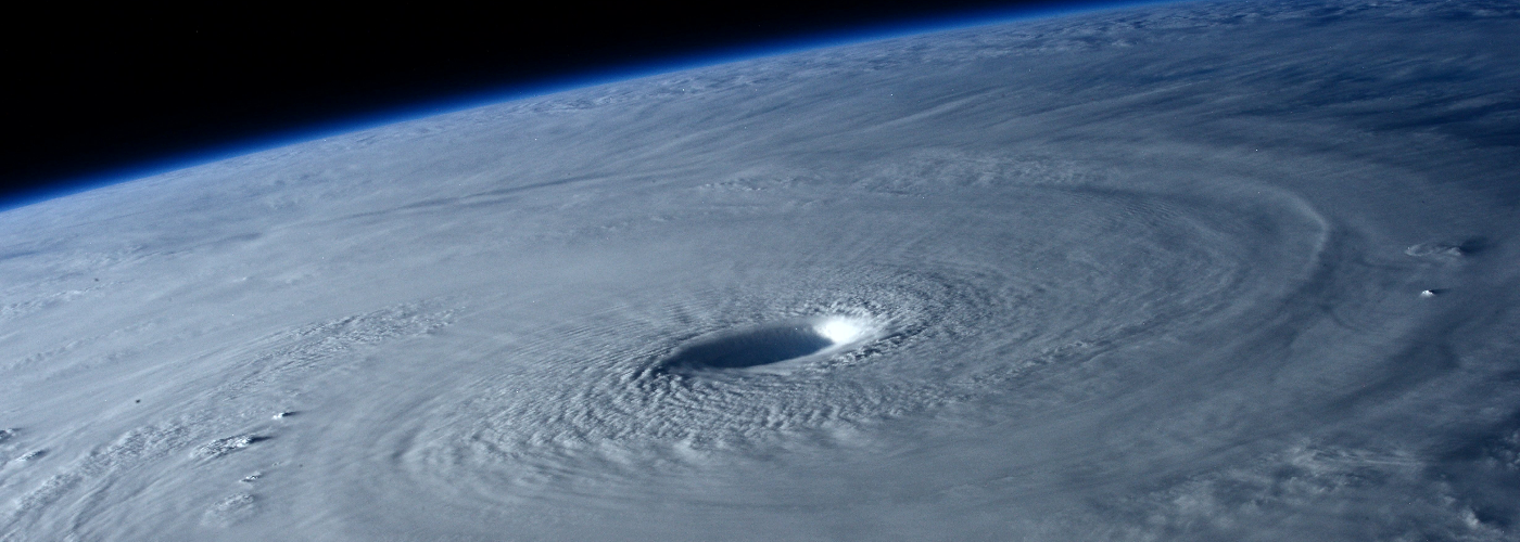
Finally, eyes will be on the tropics as Tropical Storm Henri will be located halfway between Bermuda and the Southeast US, and will head northward the next few days heading towards the Northeast US. Henri is expected to strengthen to at least a strong Cat 1 hurricane, possibly even a Cat 2 as it approaches the Northeast coast. Models are in good agreement on a landfall on Sunday evening anywhere from Long Island, NY to southern MA, and with this placement, the strongest storm surge could affect the Boston area.