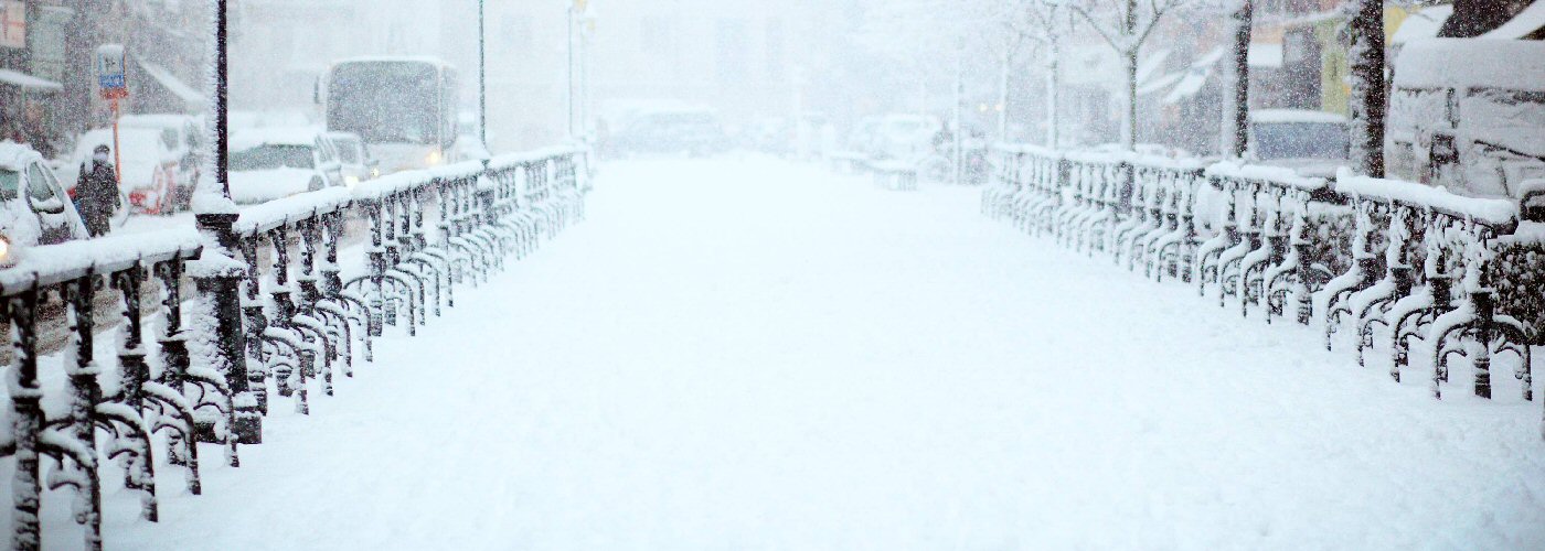

A storm system with a cold front will continue to move through the eastern part of the country today producing rain, snow, and some ice. Precipitation will be primarily rain from NC south-southwestward to the Gulf of Mexico, then a gradual transition from rain to winter weather further north to southern New England, and for much of northern New England it should mainly be snow. Several inches of snow is expected for much of NY, VT, NH, and ME with lesser totals further south and east where the transitions occur. The southern part of the cold front will continue to linger in FL on Saturday continuing at least a scattered shower chance in that region. Come early am on Sunday am area of low pressure may develop in the vicinity of this lagging part of the front of the FL coast and move northeast off the Carolinas coast. This system will continue shower chances for northern FL with development expected further north throughout the day into southern GA, much of SC, and far southern NC.
The rest of the country looks to be fairly quiet with the exception of a couple of weak type clipper systems moving through the northern part of the country. The first clipper will affect parts of MN, WI, the UP of MI, and lower MI and will not produce all that much snow accumulation though a few spots could pick up an inch or two. The other system will track just a bit further north and will be a bit stronger and could bring widespread snow accumulations from northeastern ND to northern lower MI with some of the highest totals coming in lake effect favorable regions.