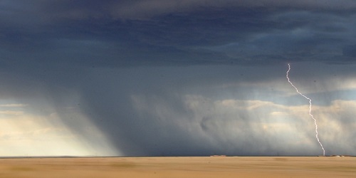

The weather pattern across the country through the weekend will include an upper ridge moving from the west into the central part of the country, a stationary front situated from the Carolinas coast southwestward to the FL panhandle. and a slow-moving cold front situated from the northern High Plains eastward to the New England, and Mid-Atlantic coasts. The better chances for showers and a few storms will be near that stationary front from the Carolinas coast to north-central FL and the Pacific Northwest. Some activity is also expected around the cold front first late tonight into early Saturday in southern MN and spreading east and southeast to the Mid MS River Valley and Ohio River Valley Saturday, and then parts of the Appalachians on Sunday. Widespread severe weather is not expected, however a few severe storms can,t be completely ruled out in eastern WA and north-central OR today, the northern High Plains on Saturday, and the western Dakotas on Sunday.


